RC07 - Puente Auco
Site Code: RC07. GPS: S12°58764, W75°945628. Elevation: 1977m asl.
Water Quality Data
The following river and water quality data was collected from this site:
| RC07 | July 2019 | November 2019 | November 2021 | June 2022 |
|---|---|---|---|---|
| Season: | Austral Winter | Austral Summer | Austral Summer | Austral Winter |
| Date: | 12.07.19 | 19.11.19 | 13.11.21 | 27.6.22 |
| Time: | 11.45 | 11.00 | 12.00 | 12.15 |
| Width (m) | - | 32.0 | 22.0 | 24.0 |
| Depth (Av.) (m) | - | 0.30 | 0.96 | 0.85 |
| CSA (Av.) (m²) | - | 9.73 | 21.12 | 20.40 |
| Velocity (Av.) (m/s) | - | 1.43 | 1.06 | 0.86 |
| Discharge (Av.) (m³/s) | - | 13.90 | 22.387 | 17.54 |
| Riverbed sediment | Cobbles & boulders | Cobbles & boulders | Mainly boulders | Cobbles & boulders |
| Temp. (Atmospheric) (°C) | 25 | 23 | 20 | 20 |
| Temp. (Water) (°C) | 13.39 | 16.43 | 16.77 | 13.96 |
| Atmospheric pressure (mbar) | 820 | 802 | 742 | |
| Dissolved oxygen (mg/l) | 6.51 | 5.12 | 7.23 | 8.72 |
| Dissolved oxygen (%) | 77.9 | 71.0 | 92.7 | 115.5 |
| pH | 8.67 | 8.35 | 8.47 | |
| Conductivity (µS/cm) | 463 | 427 | 554 | 462 |
| Total Dissolved Solids (ppm) | 231 | 214 | 277 | 231 |
| ORP (mV) | 351.8 | 157.7 | 60.1 | 155.0 |
| Turbidity | Clear: | Clear: | Clear: | Clear: blue |
| Alkalinity (mg/l CaCO₃) | 154 (1.6N) | - | 150 (1.6N) | 146 (1.6N) |
| Alkalinity Tester (ppm CaCO₃) | - | - | 143 | 137 |
Data Analysis
Discharge at this site is significantly reduced by water abstraction for increasing levels of agricultural irrigation in the valley. Irrigated areas here as elsewhere, extend the cultivated area upslope and greatly increase the extent of farmed lands. Discharge in the rainy season (November to March) will exceed 20 m³/s. During the rest of the year discharge declines in-line with decling precipitation ifn the headwaters and the demands of irrigation lower down the valley.
At nearly 2000m asl the DO readings at RC07 fall within the range expected for both June/July and November data sets. Again, the increased elevation and diurnal fluctuations in temperature in narrow, sheltered sections of the valley does produce fluctuations in maximum absolute oxygen capacity and, in consequence, percentage saturation. This then fluctuates with that rhythm accordingly. At DO levels ranging from 5.1-8.7 mg/l and 71-115% oxygen saturation some aquatic vertebrates are struggling to reproduce but invertebrates will thrive.
The conductivity reading at this site (427-554 µS/cm) is as expected at this altitude.
pH readings of about 8.5 are as expected. At these levels the alkalinity of the river is suitable for aquatic life and not approaching the tolerances of most aquatic vertebrates and invertebrates.
Site Description
Site RC07 is located at the bridge crossing the Rio Cañete to Colonia, just upriver from the settlement of Puente Auco at 1995m asl in the arid subtropics. The valley is narrow at this point with a flood-plain either dominated by channel braiding or farmed areas. At this point the valley again has a v-shaped profile with steep valley sides.
There are significant areas of cultivation, requiring irrigation waters along the flood-plain. Waters are taken from higher up the valley into narrow canals. This resource is a carefully monitored common property resource whose use is tightly controlled and allocated in the community. Agricultural demand reduces discharge but the channel has water year-round at these elevations. Production in this area is for the valley coastal communities and not purely subsistence. On the dry slopes, above the cultivated areas, the valley sides are arid, supporting a primarily xeric vegetation. There are more extensive areas of semi-natural vegetation here with groves of acacia, river cane and willows lining the rivers edge. The fauna and flora in the valley remains depauperate and largely comprised of synanthropic species.
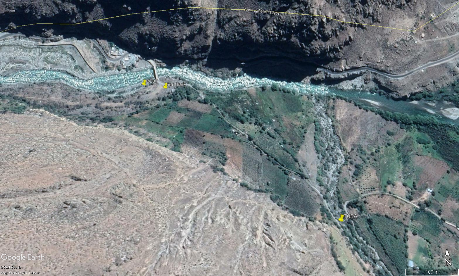 Site RC07 - Study site location: just downstream from Puente Auco.
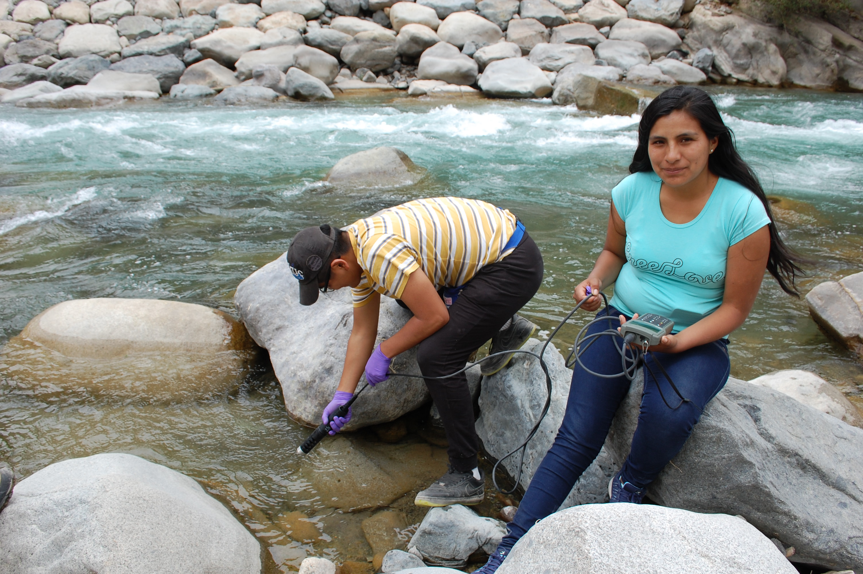 Site RC07 - the study site. (November 2019) (John Forrest)
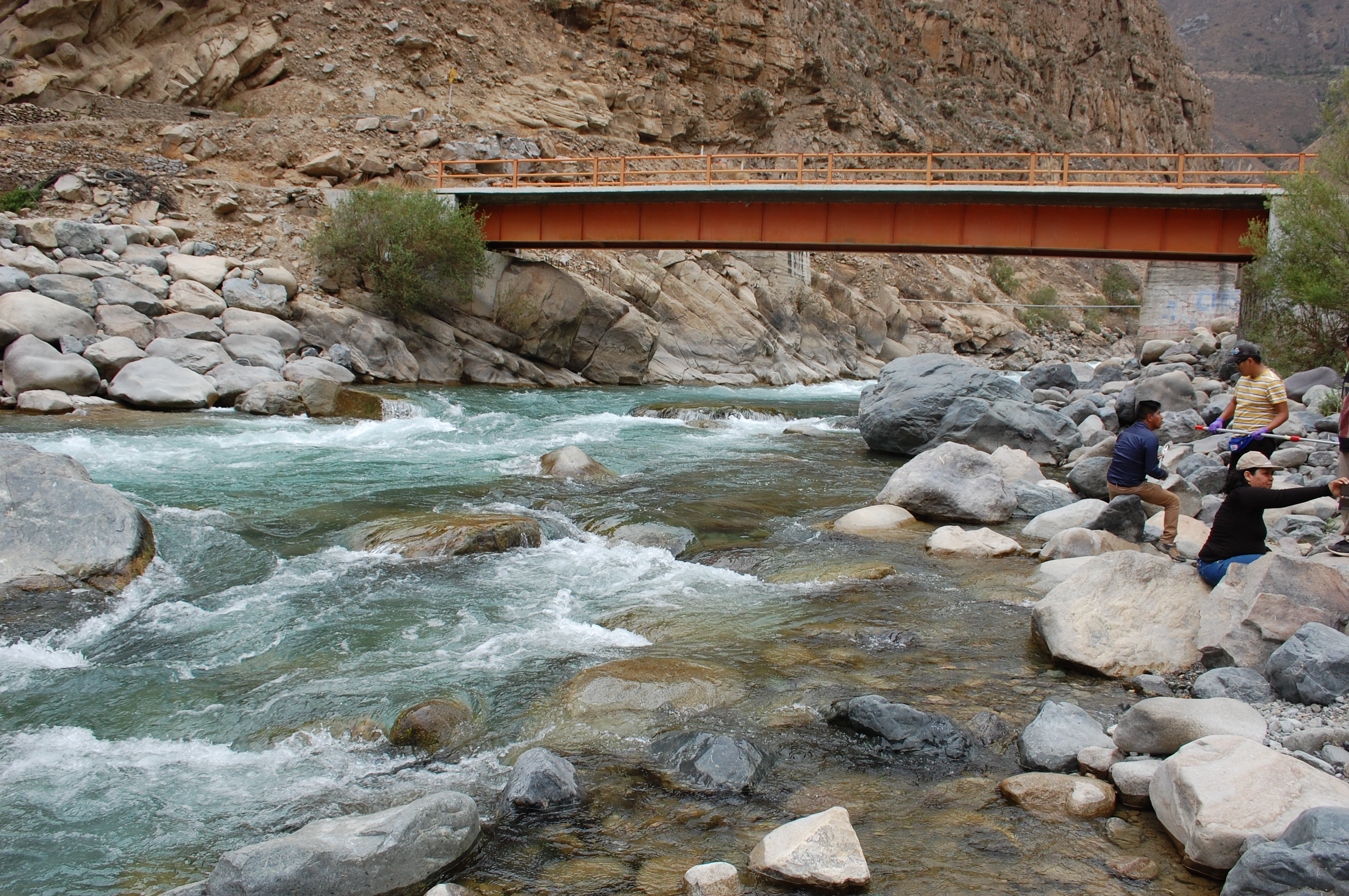 Site RC07 - View upstream. (November 2019) (John Forrest)
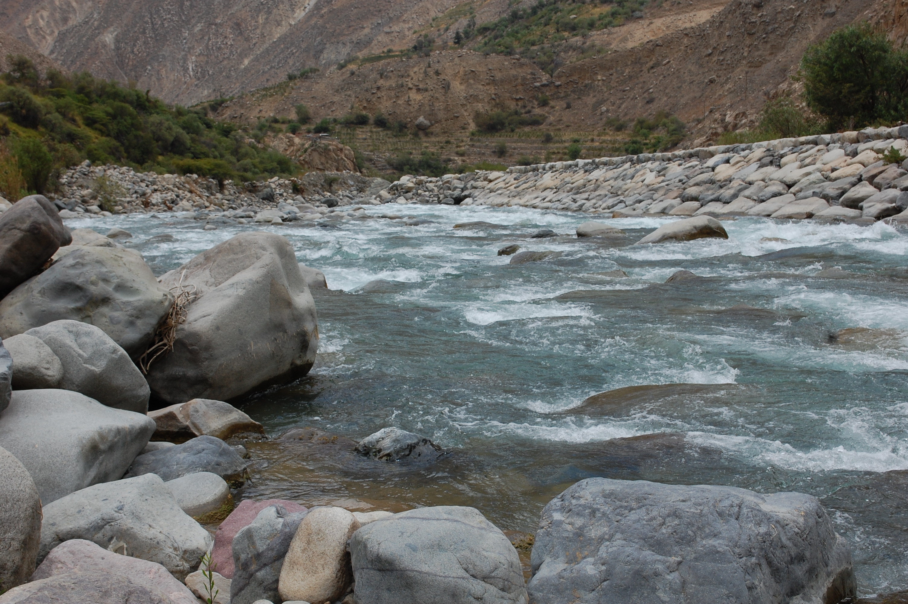 Site RC07 - View downstream. (November 2019) (John Forrest)