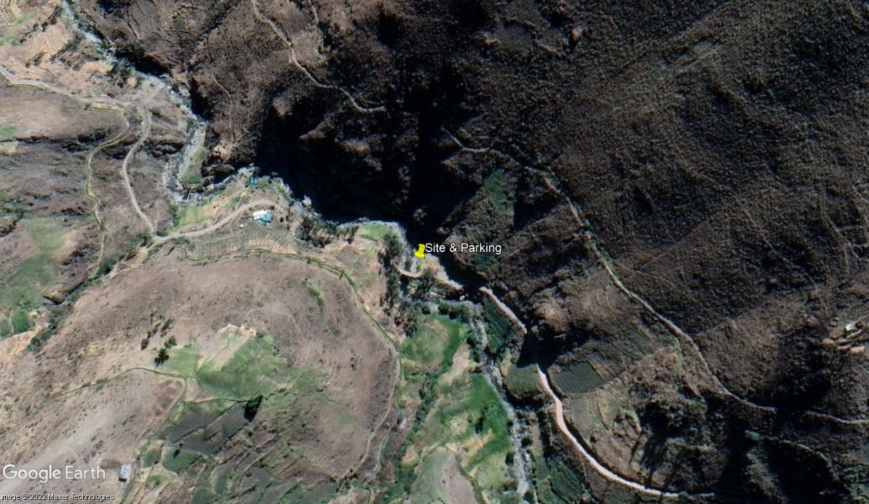
RT01B - Lower Middle Viñac (Below Viñac)
Site Code: RT01B. GPS: S12°927273, W75°794645. Elevation: 2770m asl.
Water Quality Data
The following river and water quality data was collected from this site:
| RT01B | March 2022 |
|---|---|
| Season: | Austral Summer |
| Date: | 23.3.2022 |
| Time: | 15.45 |
| Width (m) | 16.63 |
| Depth (Av.) (m) | 0.58 |
| CSA (Av.) (m²) | 9.65 |
| Velocity (Av.) (m/s) | 1.22 |
| Discharge (Av.) (m³/s) | 11.68 |
| Riverbed sediment | Pebbles & cobbles |
| Temp. (Atmospheric) (°C) | 13.18 |
| Temp. (Water) (°C) | 13.47 |
| Atmospheric pressure (mbar) | 720 |
| Dissolved oxygen (mg/l) | 3.74 |
| Dissolved oxygen (%) | 60.46 |
| pH | 7.99 |
| Conductivity (µS/cm) | 65 |
| Total Dissolved Solids (ppm) | 33 |
| ORP (mV) | 119.8 |
| Turbidity | Turbid: slightly green |
| Alkalinity (mg/l CaCO₃) | 49 (1.6N) |
| Alkalinity Field Tester (ppm CaCO₃) | 41 |
Data Analysis
Discharge at this point on the Rio Viñac - recorded pre-flood (see below) was significant (11.76 cumecs) suggesting that there had been recent rains in the headwaters of this sub-catchment as expected in March. During data recording the river level rose by approximately 25cms within a few minutes leading to a significant rise in the river level and discharge.
At nearly 2800m asl the average DO reading (3.74 mg/l) was to be expected for water at this altitude in a tributary basin.
The conductivity reading at this site was much lower than might be expected (65 µS/cm) despite the recent rains.
An average pH reading of almost 8.0, is as expected and at a level suitable for aquatic life.
Site description
Site T1B lies in the Rio Viñac valley at 2770m asl immediately below the bridge carrying the road up to the village of Viñac. At this point the valley has narrowed with a distinct v-shaped profile and the flood-plain is almost non-existent.
River flow in the Rio Viñac is not year-round. It delivers a minimal input to the Rio Cañete in the dry season but a significant input in the wet season though the input is reduced in both seasons by extraction in the middle section of the valley for irrigation, especially in the dry season.
Bed load in the river channel is comprised of scattered boulders and smaller stones.
Some hillsides are terraced where slopes permit though many of these are now abandoned and overgrown, while steeper slopes are covered with scrubby vegetation and eucalyptus.
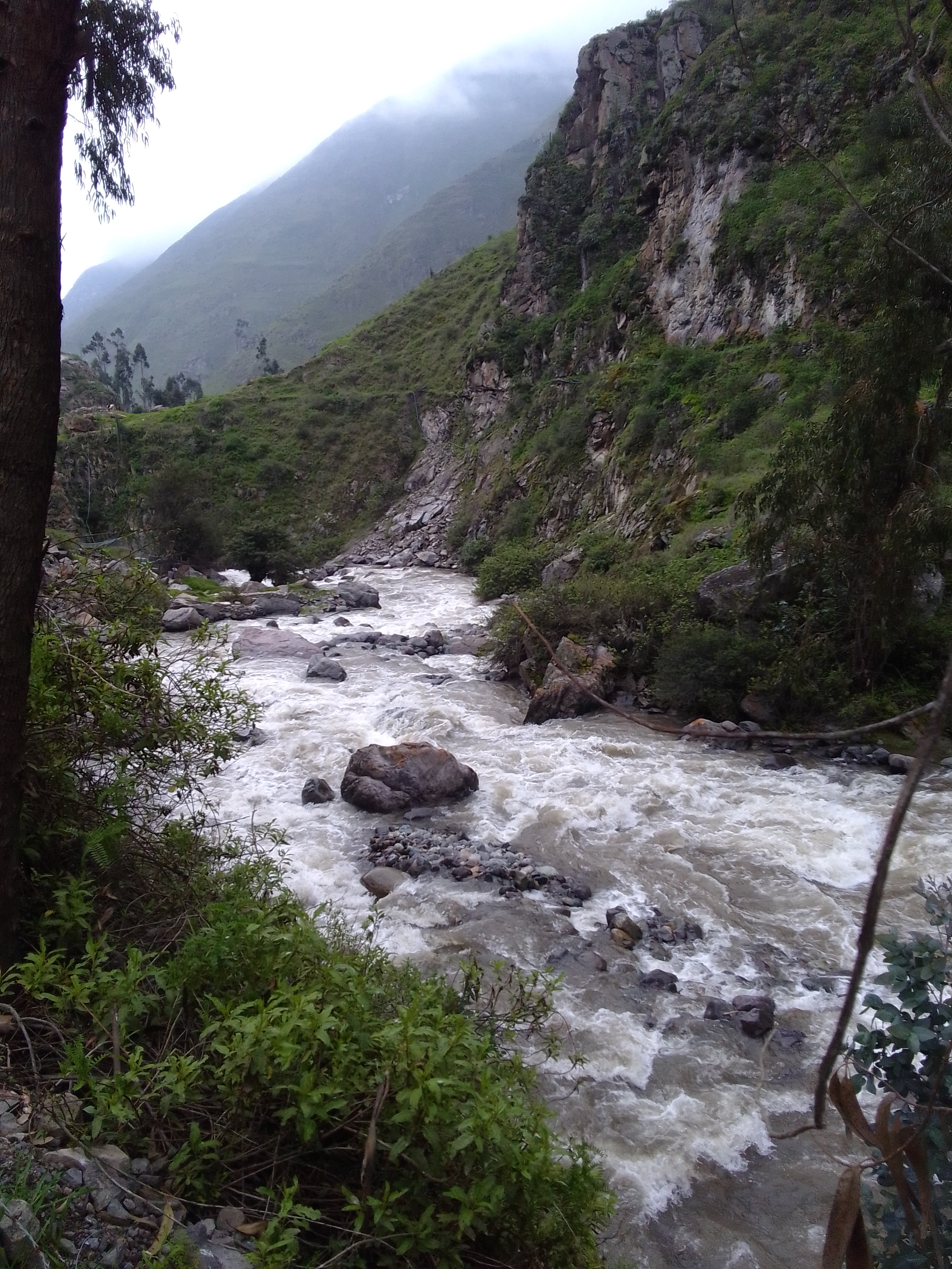
 Site RT01B - the study site location: in the lower middle Viñac valley below the village of Viñac. (John Forrest)
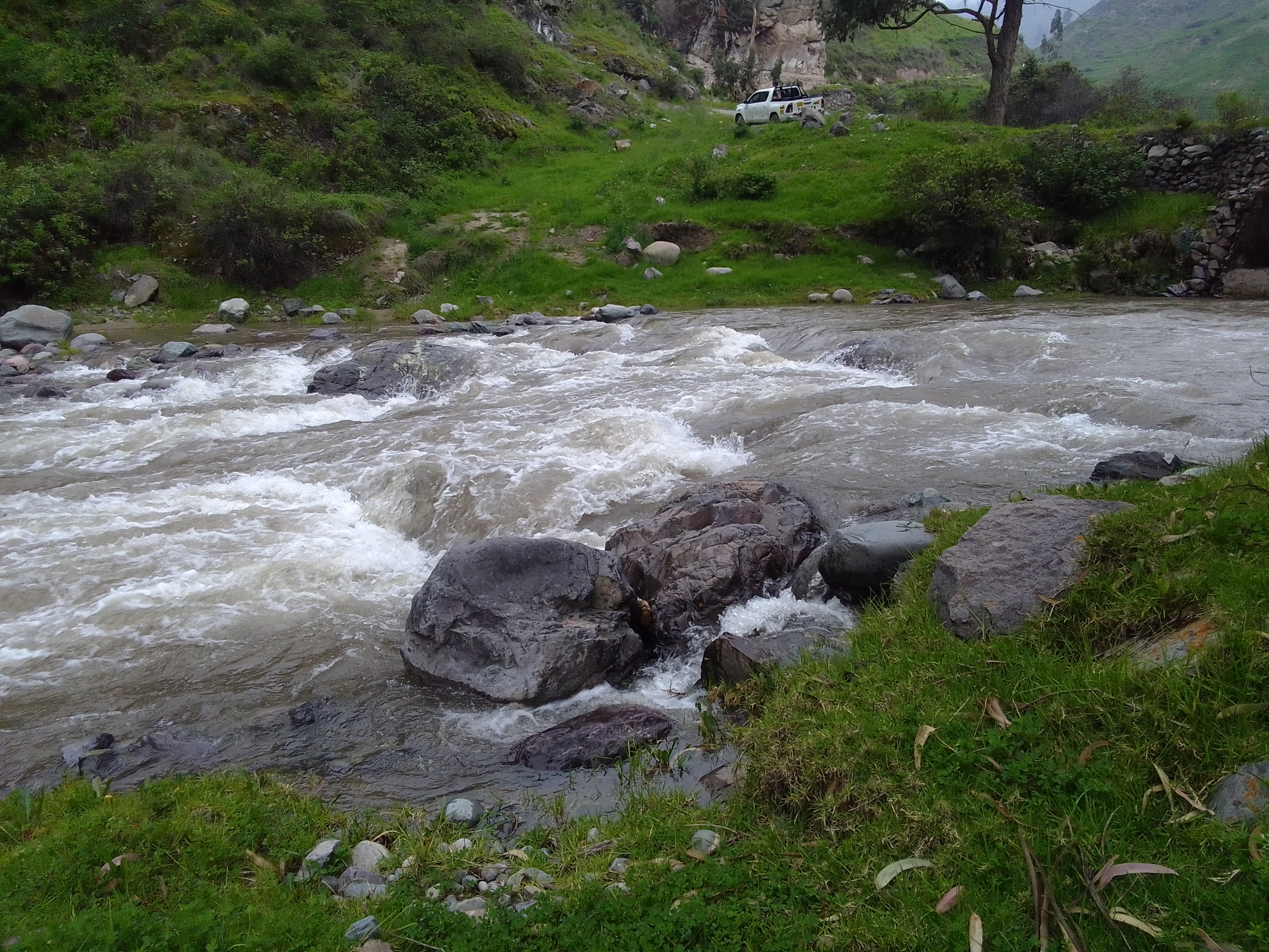 Site RT01B - the study site post-flood. (March 2022) (John Forrest)
 Site RT01B - the study site post-flood. (March 2022) (John Forrest)
 Site RT01B - the study site post-flood. (March 2022) (John Forrest)
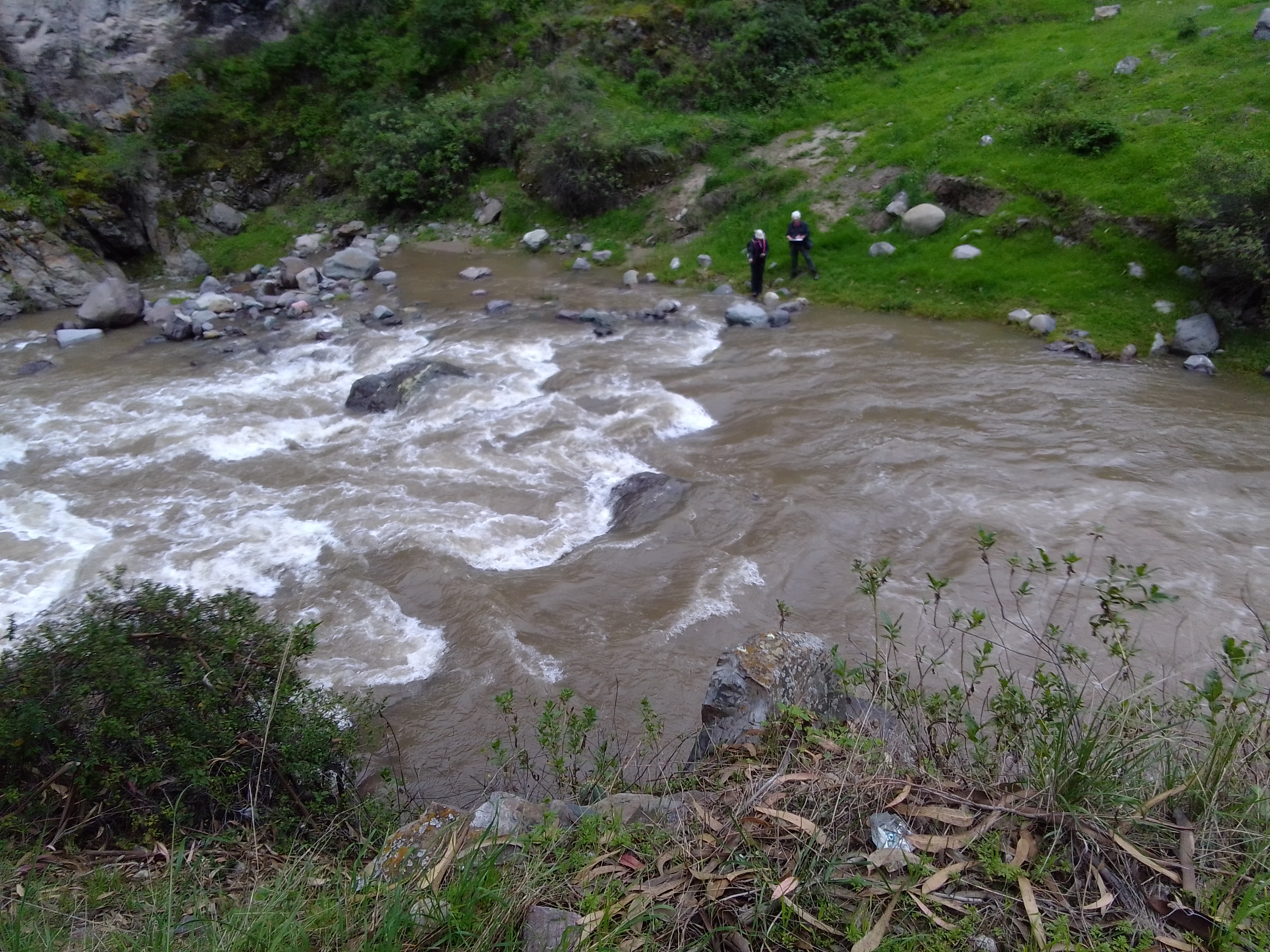
 Site RT01B - view downstream. (March 2022) (John Forrest)
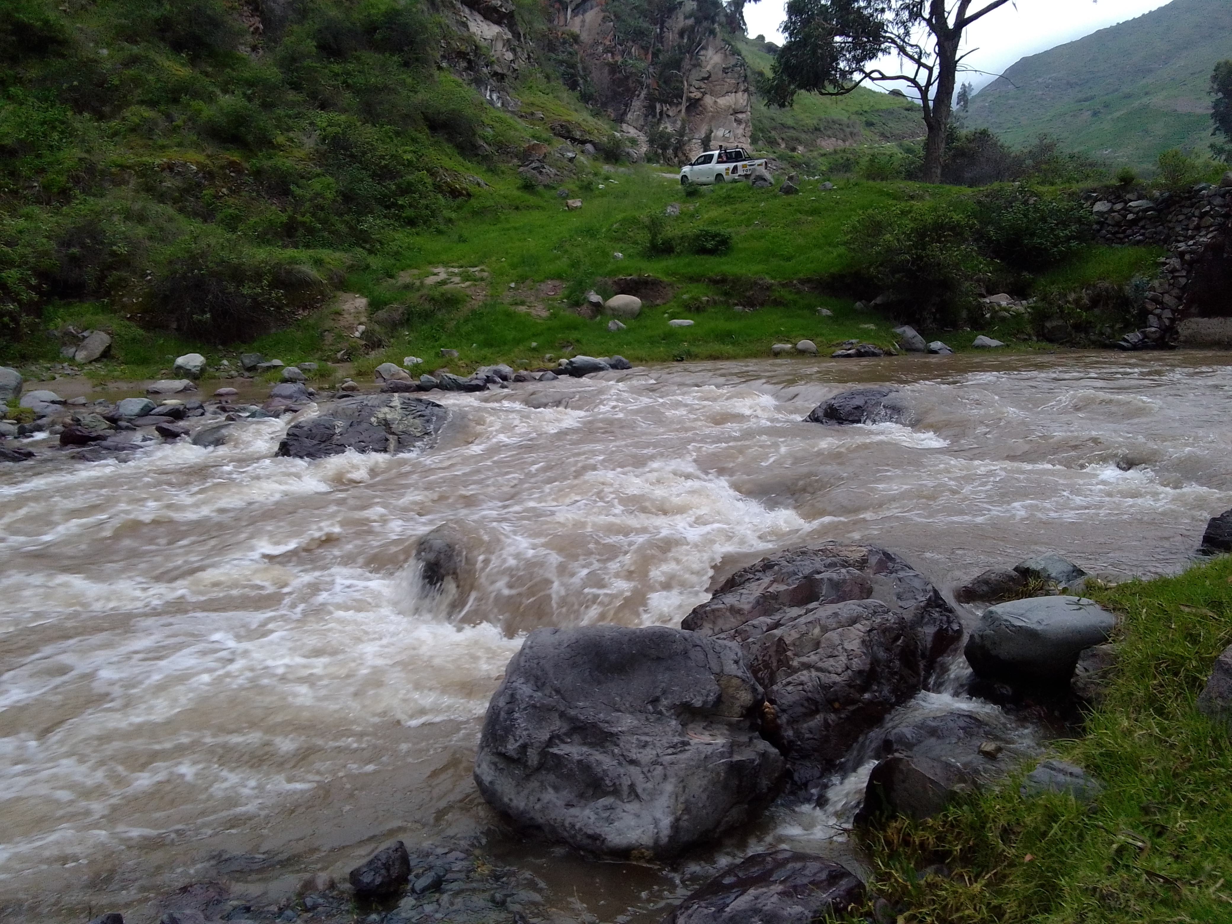
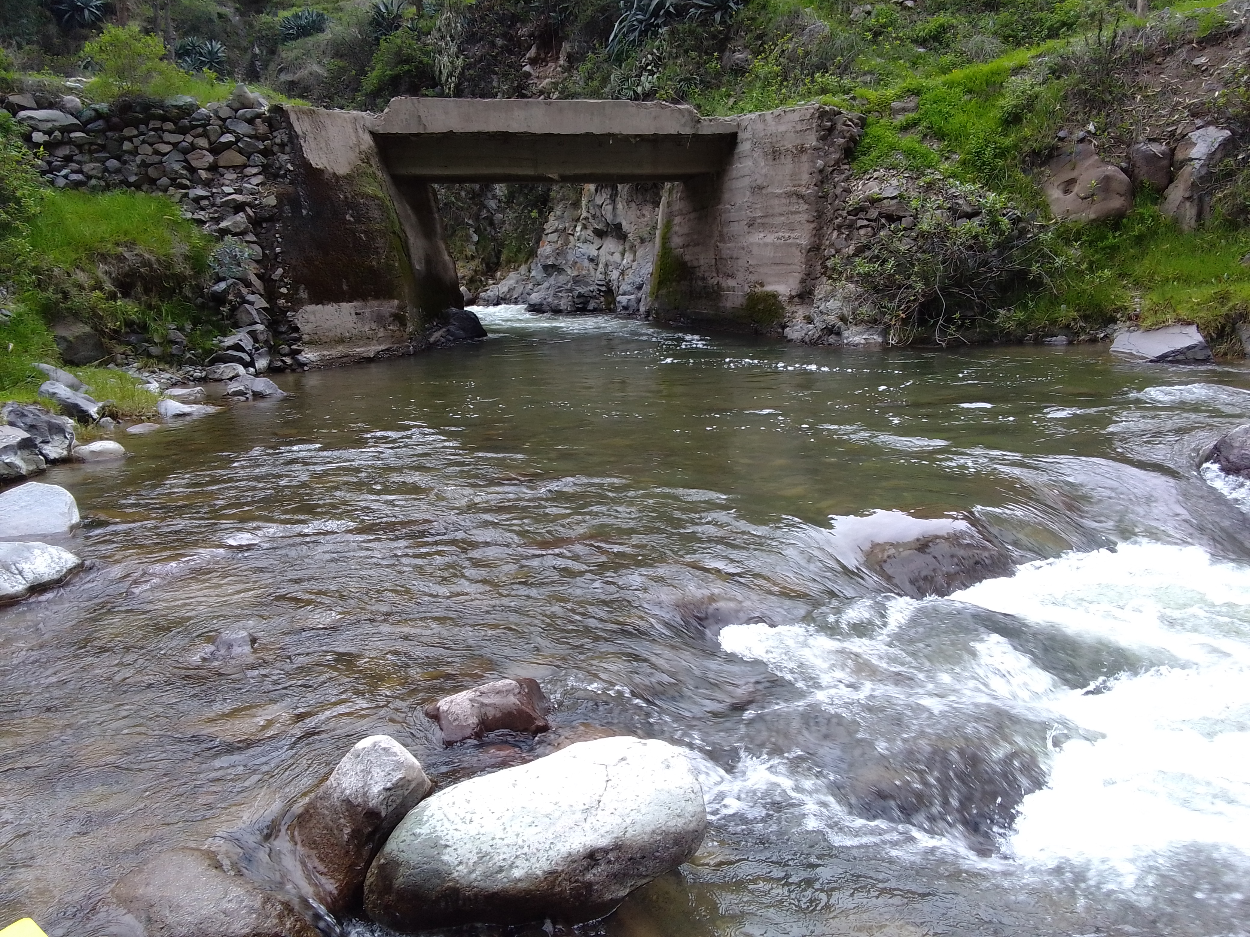 Site RT01B - view upstream. (March 2022) (John Forrest)