RT01C - Upper Middle Viñac
Site Code: RT01C. GPS: S12°923350, W75°712100. Elevation: 3707m asl.
Water Quality Data
The following river and water quality data was collected from this site:
| RT01C | November 2021 | March 2022 |
|---|---|---|
| Season: | Austral Summer | Austral Summer |
| Date: | 15.11.2021 | 24.3.2022 |
| Time: | 15.00 | 16.15 |
| Width (m) | 8.77 | |
| Depth (Av.) (m) | 0.84 | |
| CSA (Av.) (m²) | 7.37 | |
| Velocity (Av.) (m/s) | 0.57 | |
| Discharge (Av.) (m³/s) | 4.20 | |
| Riverbed sediment | Cobbles & Boulders | |
| Temp. (Atmospheric) (°C) | 9.28 | |
| Temp. (Water) (°C) | 13.49 | |
| Atmospheric pressure (mbar) | 650 | |
| Dissolved oxygen (mg/l) | 3.22 | |
| Dissolved oxygen (%) | 52.78 | |
| pH | 8.10 | 8.09 |
| Conductivity (µS/cm) | 1050 | 70 |
| Total Dissolved Solids (ppm) | 35 | |
| ORP (mV) | 116 | |
| Turbidity | Clear: | |
| Alkalinity (mg/l CaCO₃) | 50 (1.6N) | 37 (1.6N) |
| Alkalinity Field Tester (ppm CaCO₃) | - | 13 |
Data Analysis
Discharge at this point along the Rio Viñac was low but, in March, higher than it is for much of the year. Channel flow is also influenced by groundwater as a short distance upriver there is a small geothermal outpouring.
At just over 3700m asl the DO readings are low but this may reflect the impact of the geothermal outpouring.
The conductivity reading at this site was higher than expected (1050 µS/cm) in the dry season when discharge levels are low and contaminants in the river more concentrated, however, it was very low (84 µS/cm) in the wet season when the discharge is much greater and contaminants in the river are more diluted.
An average pH reading of just over 8.0 is as expected and at a level suitable for life.
Site description
Site RT01C lies in the Rio Viñac valley at 3707m asl above all settlement and most agriculture in the valley. Above this sample point lands are extensively grazed with little or no cultivated lands while below some hillsides are terraced and most land cultivated.
At this point the valley has narrowed considerably with a distinct v-shaped profile.
Bed load in the river channel is comprised of scattered large boulders and smaller stones. River flow in the Rio Viñac is year-round but delivers a minimal input to the Rio Cañete.
The minimal input to the main Rio Cañete channel is largely due to the high levels of water abstraction for terraced agriculture associated with the many settlements lower down the valley; including Huangascar, Viñac and Madean.
The study site is dominated by puna grasses and scrub but little or no aquatic plant life.
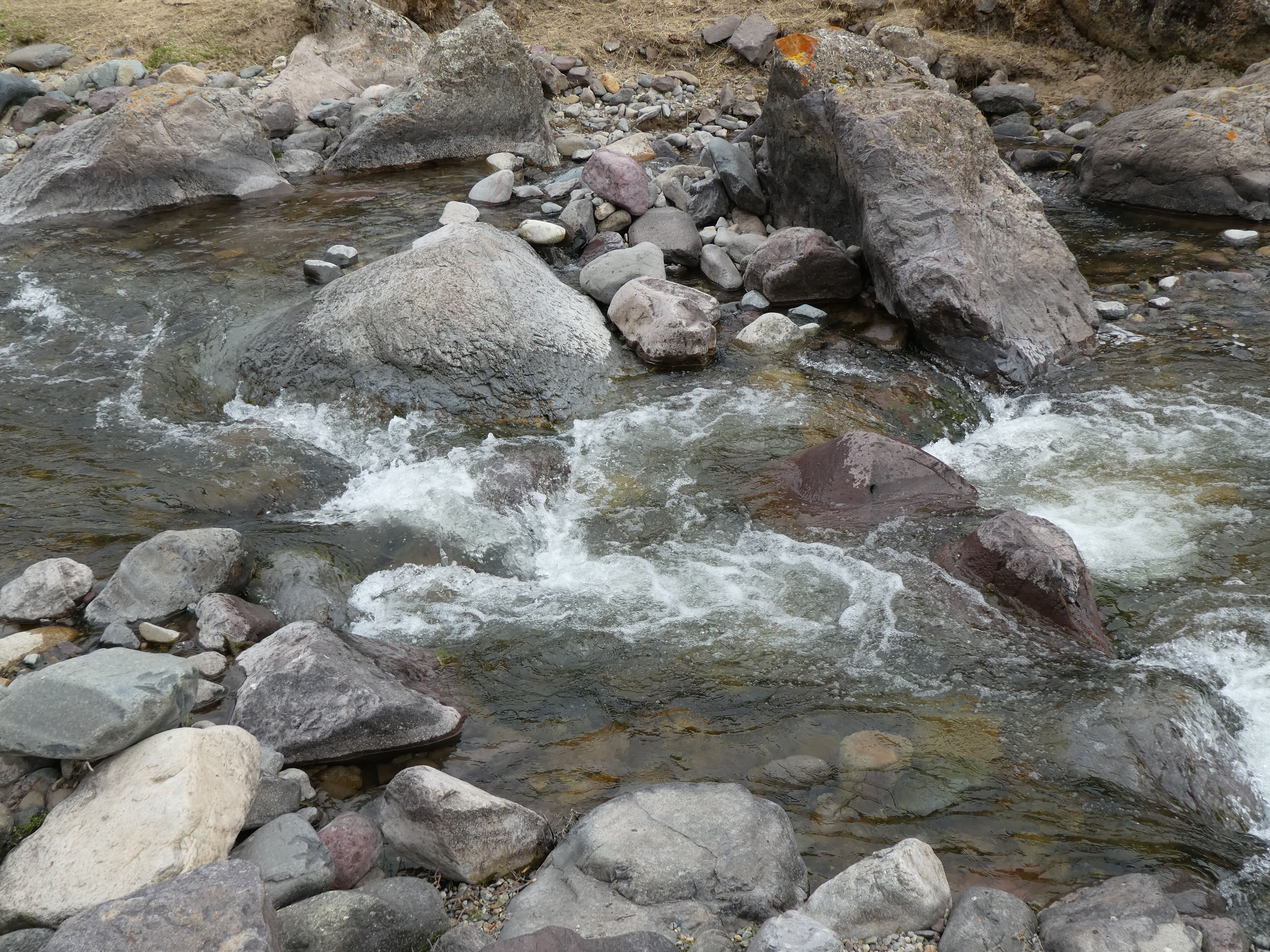 Site RT01C - the study site (November 2021) (Eustace Barnes)
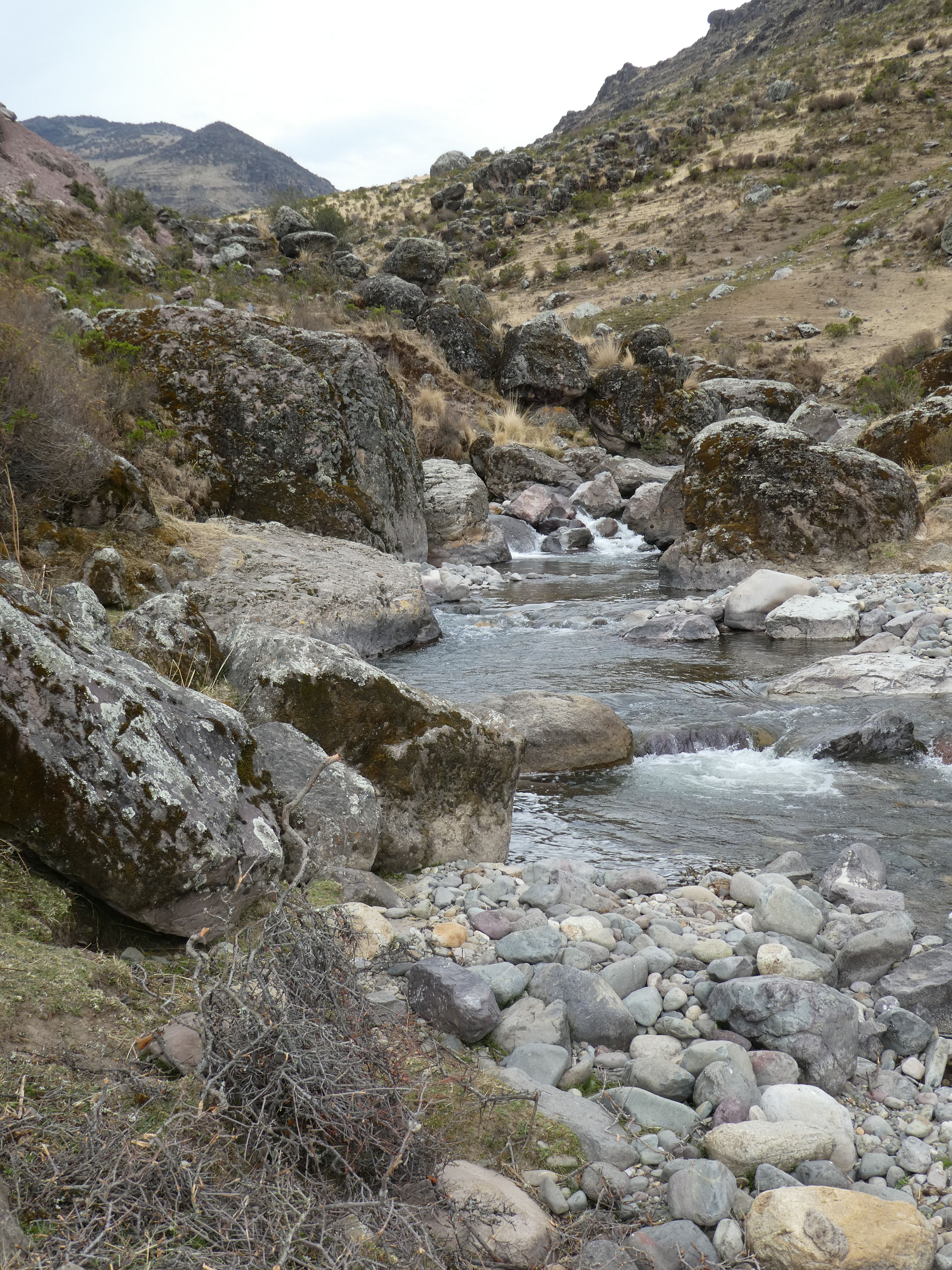 Site RT01C - the view upstream (November 2021) (Eustace Barnes)
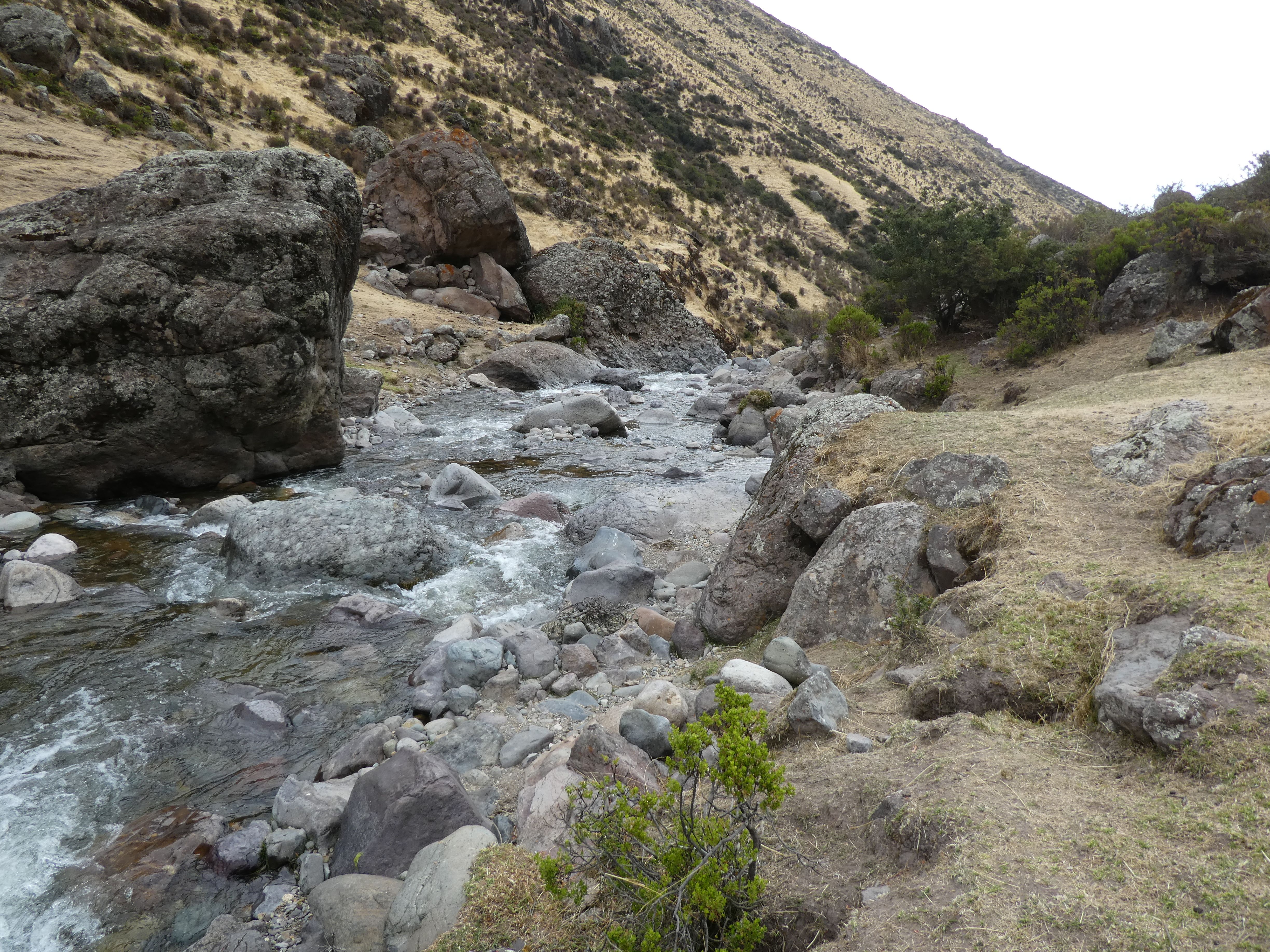 Site RT01C - the view downstream (November 2021) (Eustace Barnes)