RC15C - Baños del Inca
Site Code: RC15C. GPS: S12°083573, W75°952793. Elevation: 4,185m asl.
Water Quality Data
The following river and water quality data was collected from this site:
| RC15C | July 2022 |
|---|---|
| Season: | Austral Winter |
| Date: | 6.7.22 |
| Time: | 12.00 |
| Width (m) | |
| Depth (Av.) (m) | |
| CSA (Av.) (m²) | |
| Velocity (Av.) (m/s) | |
| Discharge (Av.) (m³/s) | |
| Riverbed sediment | |
| Temp. (Atmospheric) (°C) | |
| Temp. (Water) (°C) | |
| Atmospheric pressure (mbar) | |
| Dissolved oxygen (mg/l) | |
| Dissolved oxygen (%) | |
| pH | |
| Conductivity (µS/cm) | |
| Total Dissolved Solids (ppm) | |
| ORP (mV) | |
| Turbidity | |
| Alkalinity (mg/l CaCO₃) | 817 (1.6N) |
| Alkalinity Field Tester (ppm CaCO₃) | 500+ |
Data Analysis
Discharge at this point was minimal - only a trickle (July 2022). It would appear from the build up of deposits that there was a greater outflow in the past.
The alkalinity levels are very high reflecting a significant level of dissolved carbonates in the water.
Site Descriptions
Site RC15C lies at nearly 4,200m asl in a more open section of the valley which reflects the fact that we are nearing the headwaters with clearly glaciated landscapes.
The site is a spring showing significant signs of geological activity and most probably geothermal activity in the past though the spring waters are no longer warm.
The population density above Puente Vilca is very low so, overall,the impact of anthropic activity is minimal though visitors (bathers) to the spring may have a small impact on the water quality. There is no agricultural activity in the valley or on the valley sides, extensive pastoralism dominates rural land use throughout the headwater areas.
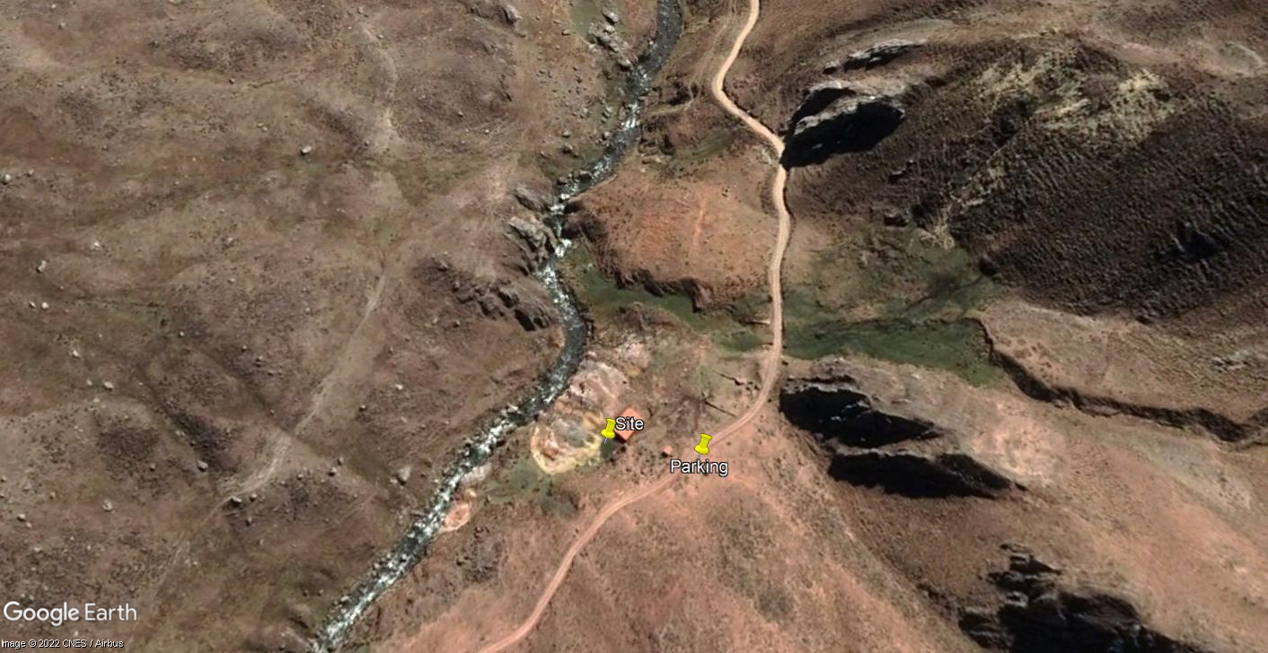 Site RC15C - Study site location.
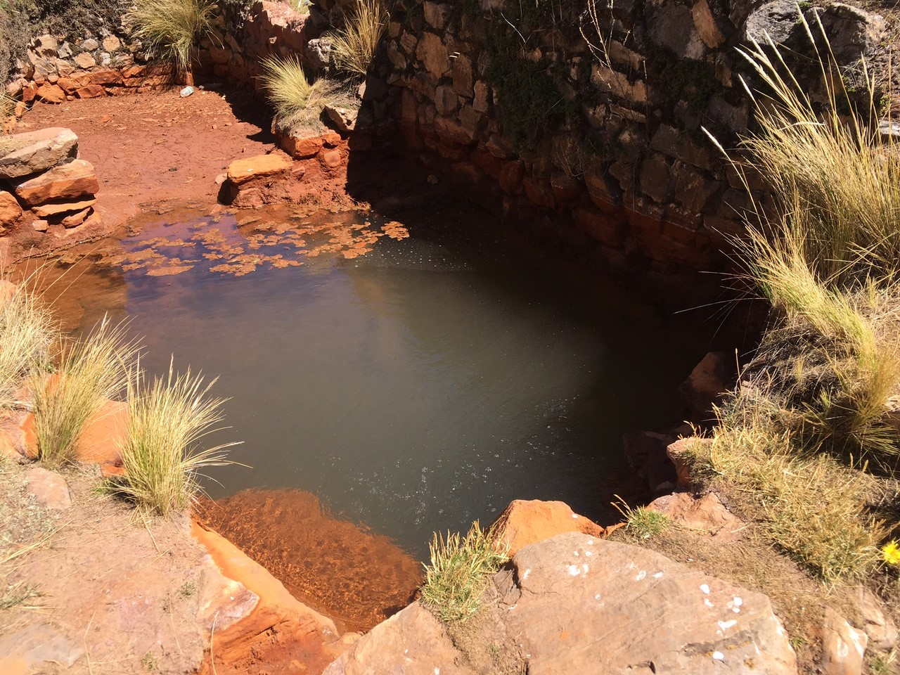 Site RC15C - the study site: geothermal pool. (June 2022) (Morag Hunter)
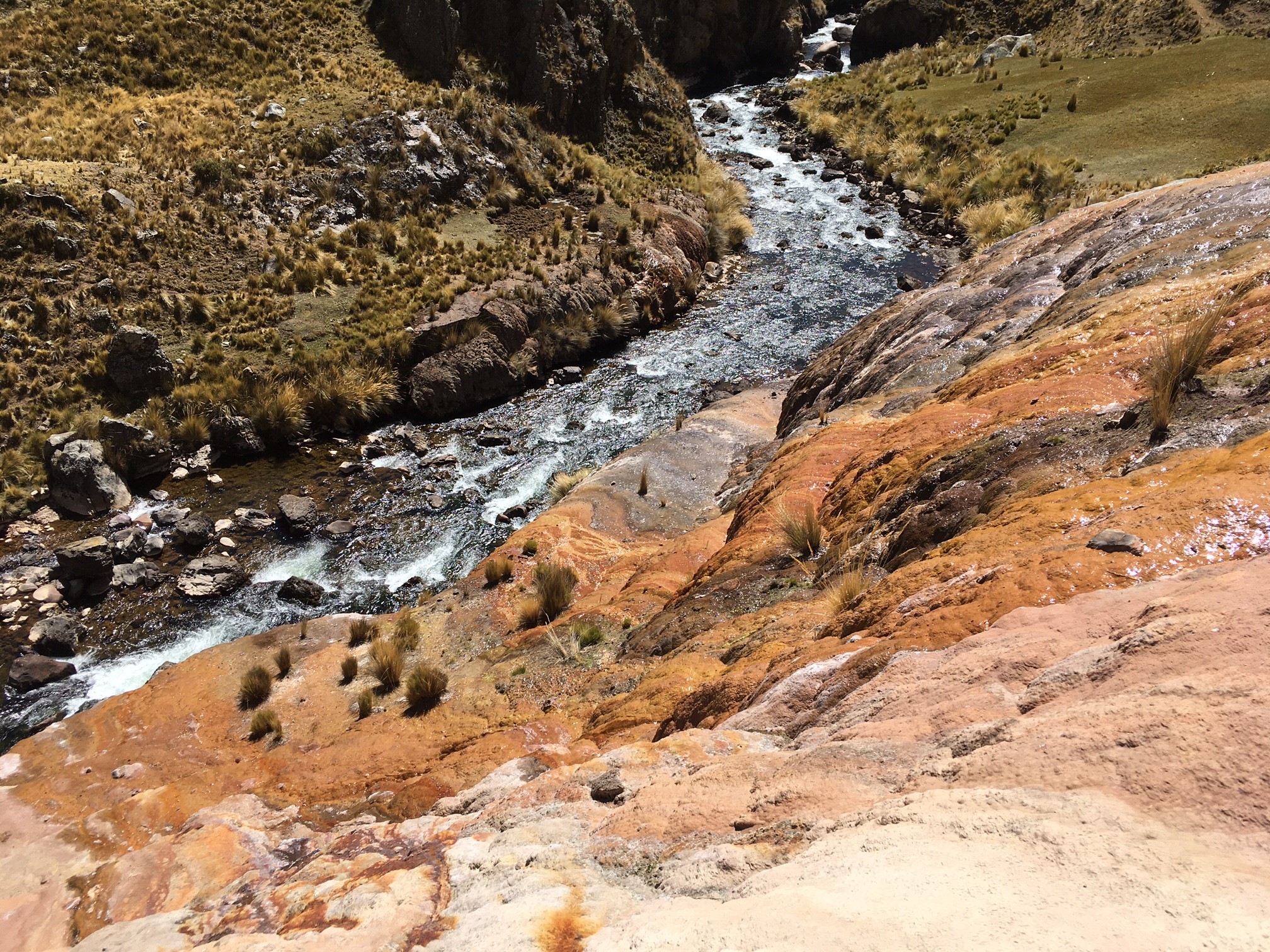 Site RC15C - View downstream. (June 2022) (Morag Hunter)
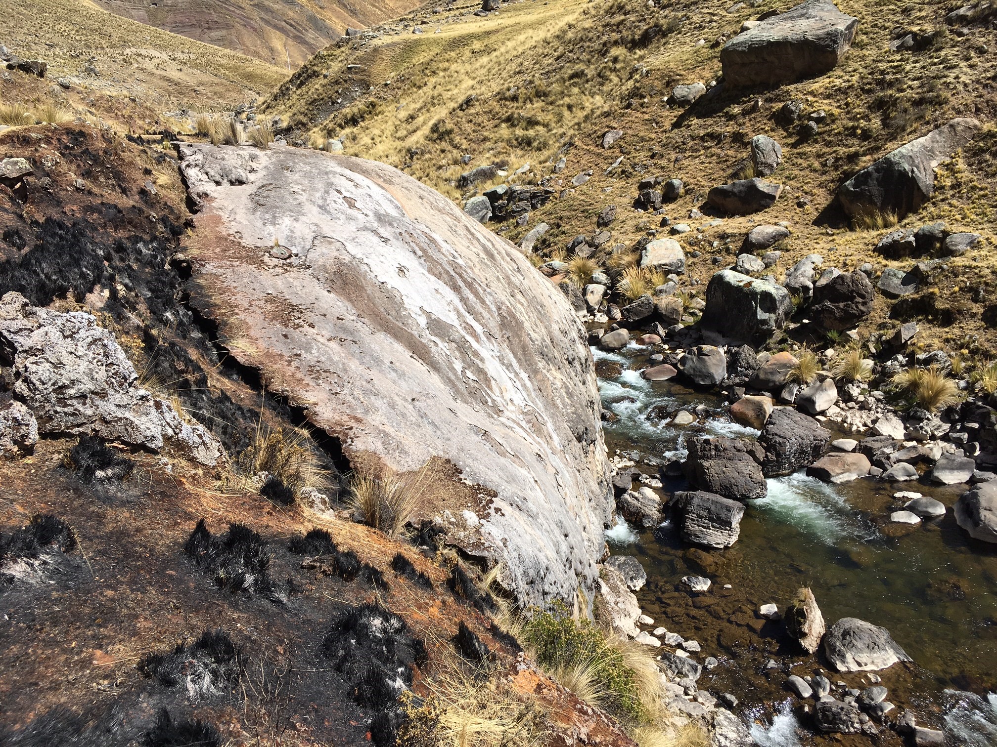 Site RC15C - View upstream. (June 2022) (Morag Hunter)