RC08 - Puente Huayo
Site Code: RC08. GPS: S12°56574, W75°92607. Elevation: 2034m asl.
Water Quality Data
The following river and water quality data was collected from this site:
| RC08 | July 2019 | November 2019 | November 2021 |
|---|---|---|---|
| Season: | Austral Winter | Austral Summer | Austral Summer |
| Date: | 9.07.19 | 19.11.19 | 13.11.21 |
| Time: | 11.15 | 15.30 | 13.30 |
| Width (m) | 28.0 | 30.0 | |
| Depth (Av.) (m) | 0.39 | 0.67 | |
| CSA (Av.) (m²) | 10.92 | 20.01 | |
| Velocity (Av.) (m/s) | 0.95 | 1.05 | |
| Discharge (Av.) (m³/s) | 14.500 | 10.374 | 21.105 |
| Riverbed sediment | Cobbles & boulders | Cobbles & boulders | Mainly boulders |
| Temp. (Atmospheric) (°C) | 24 | 25 | 20 |
| Temp. (Water) (°C) | 12.47 | 15.63 | 17.17 |
| Atmospheric pressure (mbar) | 800 | 794 | |
| Dissolved oxygen (mg/l) | 6.93 | 4.92 | 7.06 |
| Dissolved oxygen (%) | 81.7 | 69.9 | 91.3 |
| pH | 8.67 | 8.32 | |
| Conductivity (µS/cm) | 454 | 423 | 559 |
| Total Dissolved Solids (ppm) | 230 | 211 | 278 |
| ORP (mV) | 357.7 | 131.3 | 136.4 |
| Turbidity | Clear: | Clear: | Clear: |
| Alkalinity (mg/l CaCO₃) | 181 (1.6N) | - | 128 (1.6N) |
| Alkalinity Tester (ppm CaCO₃) | - | - | 119 |
Data Analysis
Although discharge is impacted by water abstraction for agricultural irrigation in the valley, channel flow remains high throughout the year. Along the west flank from Tumbes to Tacna many catchments are dry from July to November or contain very little channel flow. This means that throughout the catchment the state of natural and semi-natural habitats is rather better than elsewhere. Irrigated areas here, as elsewhere extend the cultivated area upslope and greatly increase the extent of farmed lands. Discharge in January to March will exceed 20 m³/s. During the rest of the year discharge fluctuates in accordance with precipitation in the headwaters and the demands of irrigation lower down the valley.
At just over 2000m asl the DO readings at RC08 fall within the range expected for both July and November data sets. Again, the increased elevation and diurnal fluctuations in temperature narrow, sheltered sections of the valley produces fluctuations in maximum absolute oxygen capacity and, in consequence, percentage saturation. This then fluctuates with that rhythm accordingly. At DO levels from 4.9-7.0 mg/l and 69-91% oxygen saturation most aquatic vertebrates will survive but may struggle to reproduce in the November period. Invertebrates, however, will thrive.
The conductivity readings at this site (423-559 µS/cm) are as expected at this altitude.
pH readings of about 8.5 are as expected. At these levels the alkalinity of the river is suitable for aquatic life and not approaching the tolerances of most aquatic vertebrates and invertebrates.
Site Descriptions
Site RC08 is located at the bridge crossing the Rio Cañete to Cusi. It is some distance downriver from the confluence with the small rio Yauyos. The valley is narrowing at this point and only has a very limited flood-plain but with more extensive cultivated areas on the river cliff terraces on the south bank. The valley has a v-shaped profile with the steep valley sides typical of a deeply incised valley.
There are significant areas of cultivation, requiring irrigation waters along the river terraces. This is irrigated in the traditional fashion with contour-hugging irrigation canals from higher up the valley. Agricultural production in this area is not purely subsistence, with some surplus fruit production for the markets lower down the valley. On the dry slopes, above the cultivated areas, the valley sides are arid, supporting a primarily xeric vegetation. There are more extensive areas of semi-natural vegetation with groves of acacia, river cane and willows lining the rivers edge where natural vegetation is more verdant. The fauna and flora in the valley remains depauperate and largely comprised of synanthropic species.
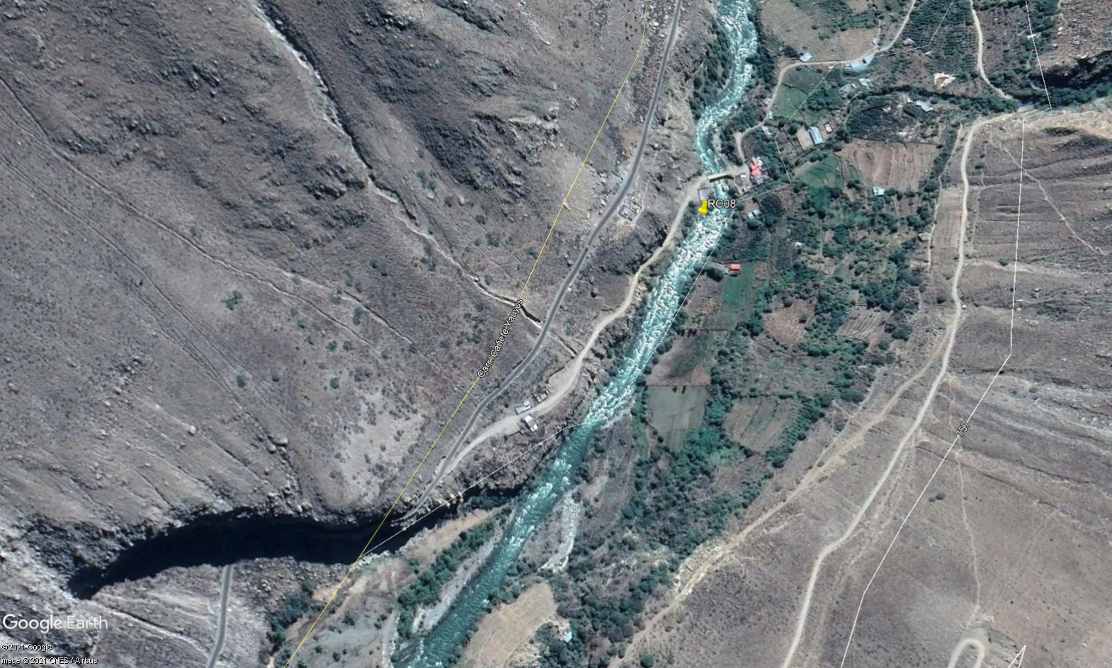 Site RC08 - Study site location: just down river from Puente Huayo.
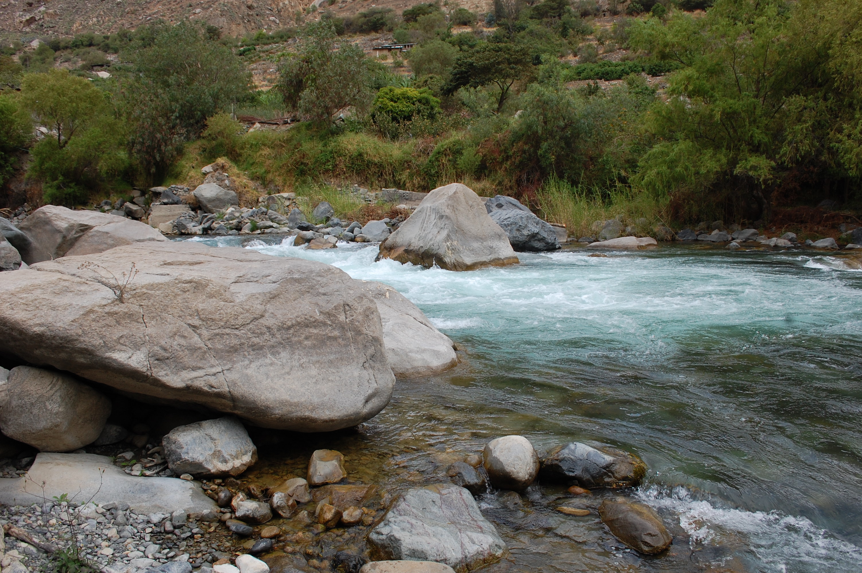 Site RC08 - the study site. (November 2019) (John Forrest)
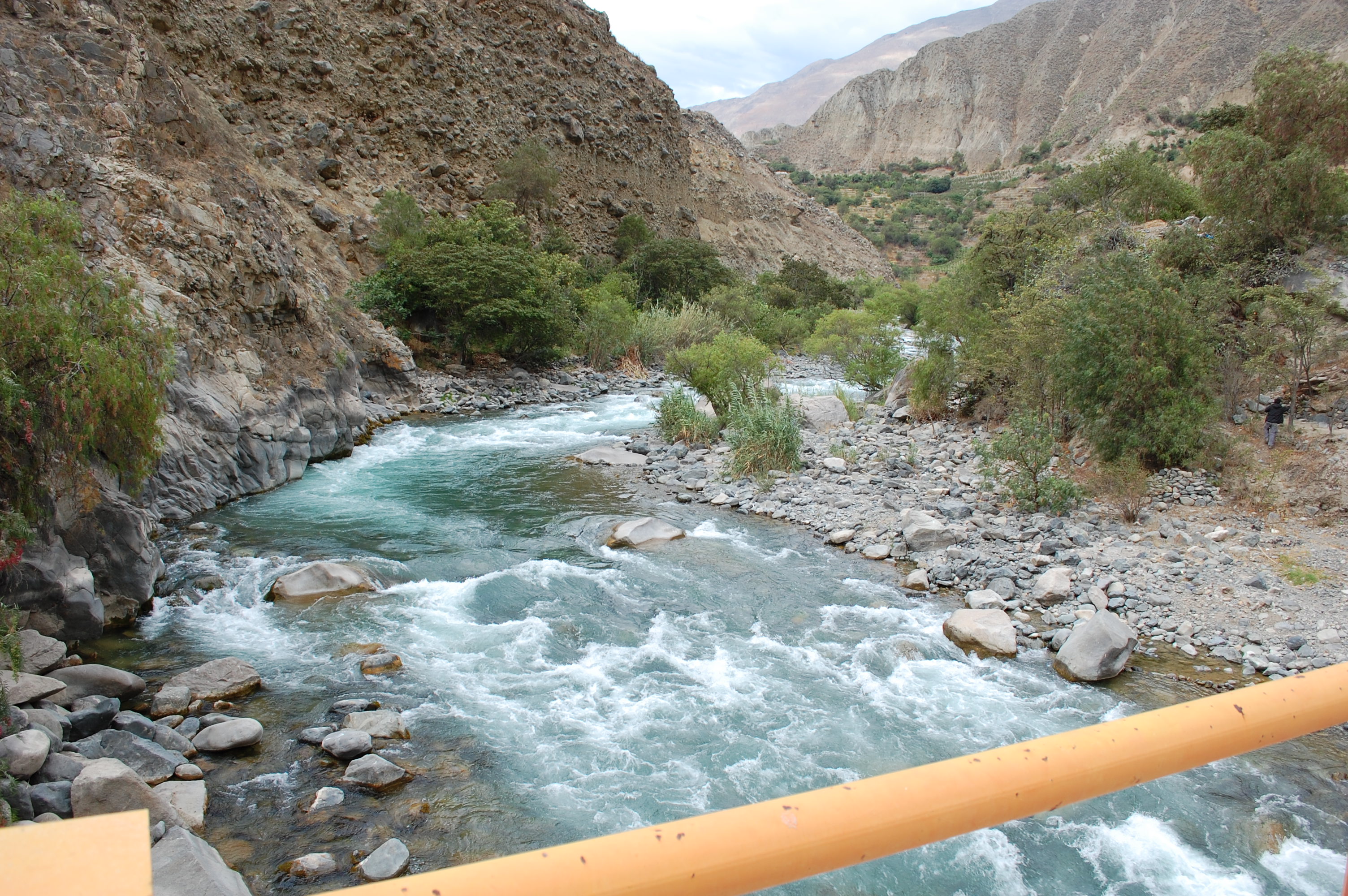 Site RC08 - View upstream. (November 2019) (John Forrest)
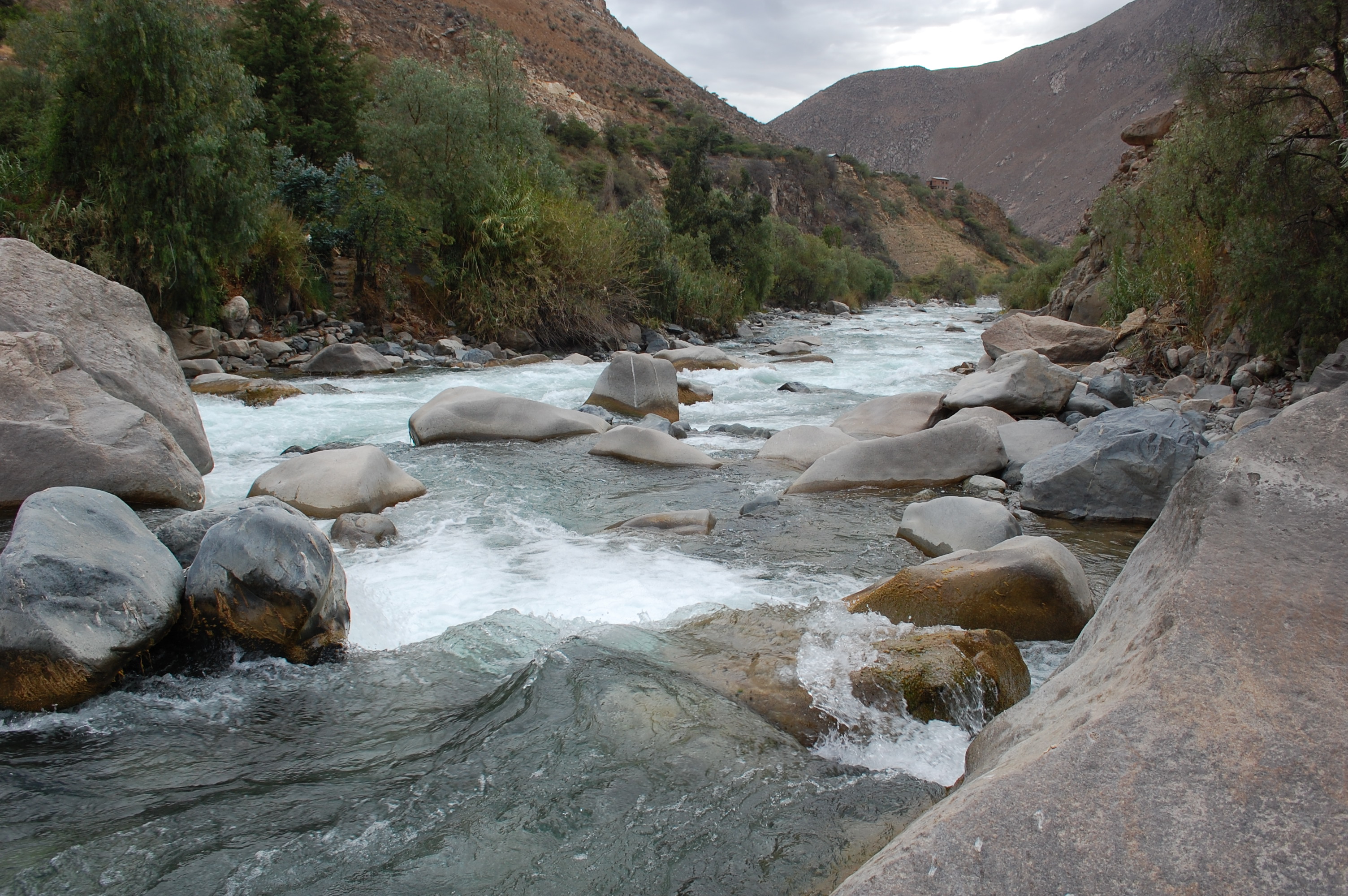 Site RC08 - View downstream. (November 2019) (John Forrest)