RT10B - Upper Miraflores
Site Code: RT10B. GPS: S12°274660, W75°855145. Elevation: 3683m asl.
Water Quality Data
The following river and water quality data was collected from this site:
| RT10B | November 2021 |
|---|---|
| Season: | Austral Summer |
| Date: | 17.11.21 |
| Time: | 10.00am |
| Width (m) | 11.0 |
| Depth (Av.) (m) | 0.17 |
| CSA (Av.) (m²) | 1.87 |
| Velocity (Av.) (m/s) | 0.47 |
| Discharge (Av.) (m³/s) | 0.879 |
| Riverbed sediment | Mainly boulders |
| Temp. (Atmospheric) (°C) | 20 |
| Temp. (Water) (°C) | 9.95 |
| Atmospheric pressure (mbar) | (<600) |
| Dissolved oxygen (mg/l) | 5.95 |
| Dissolved oxygen (%) | 80.33 |
| pH | 8.05 |
| Conductivity (µS/cm) | 164 |
| Total Dissolved Solids (ppm) | 82 |
| ORP (mV) | 164.5 |
| Turbidity | Clear: |
| Alkalinity (mg/l CaCO₃) | 62 (1.6N) |
| Alkalinity Field Tester (ppm/ CaCO₃) | - |
Data Analysis
Discharge at this point on the Rio Miraflores was very low suggesting that the rains had not yet started in the headwaters of this sub-catchment.
At nearly 3700m asl the DO readings fall within the range to be expected for a November data set.
The conductivity readings at this site (164 µS/cm) is as expected for a high altitude site located above all settlements within a sub-catchment. It suggests good conditions for aquatic life.
The pH reading of 8.05, is as expected and highly suitable for aquatic life and indicative of clean water.
Site description
Site RT10B lies in the Rio Miraflores valley at 3683m asl, just above the small settlement of Miraflores. The valley at this point has a v-shaped profile and a narrow flood-plain.
Bed load in the river channel is comprised of scattered large boulders, and smaller stones. River flow in the Rio Miraflores is year-round and delivers a small input to the Rio Cañete but the channel size suggested that significantly more water flows in the river at certain times of year.
The study site is dominated by exotic eucalyptus plantations, tall shrubs and trees, including Polylepis flavicapilla. The banks and lower hillsides are lined with small fields where pasture animals are occasionally corralled.
Just upstream is a small fish farm but no permanent settlement. There is access to the headwaters via a rough track. In the headwaters a new project has recently started to restore and enlarge bofedales to allow greater water storage and improve year round supply for agriculture and domestic use in the lower valley.
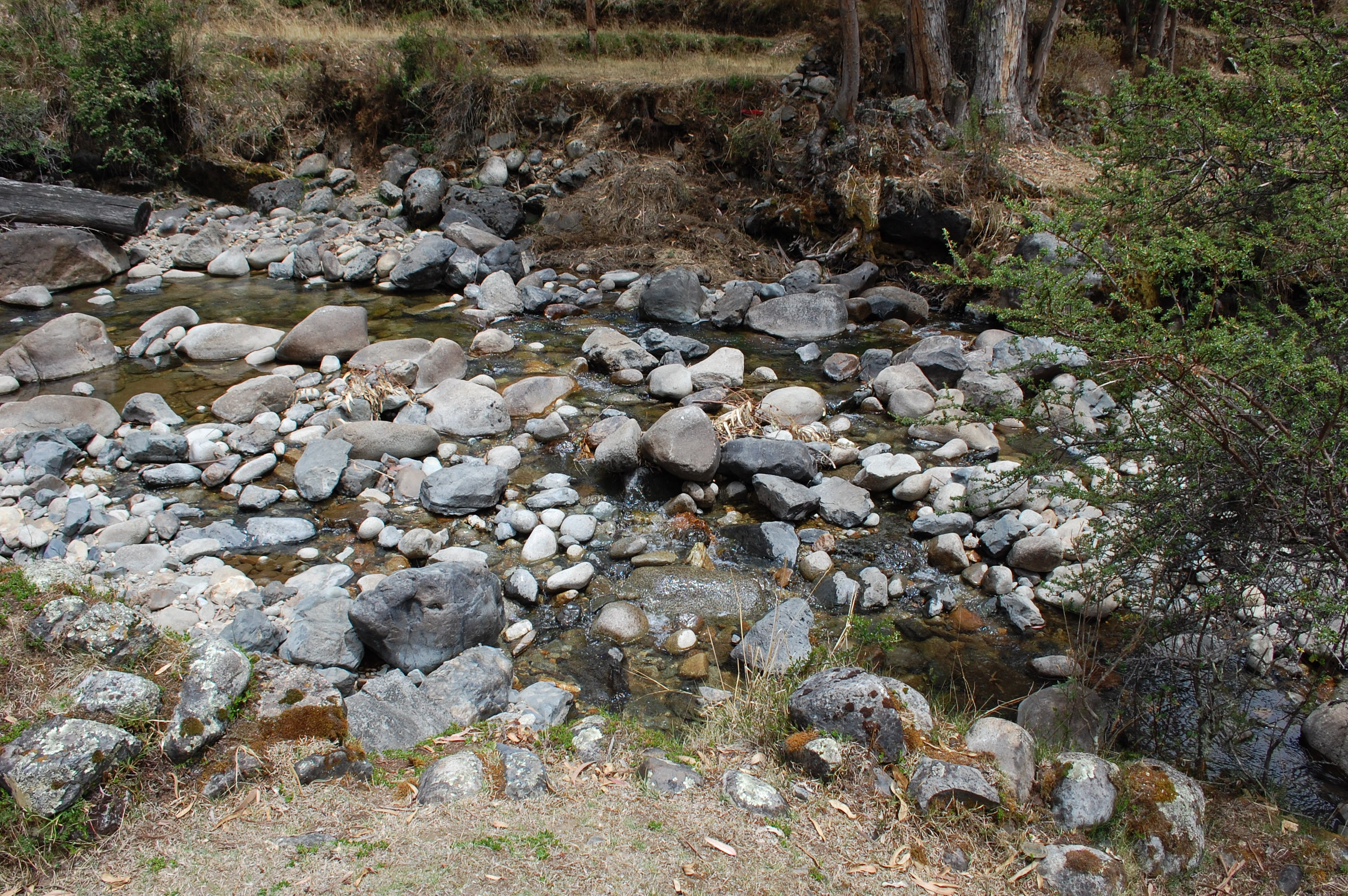 Site RT10B - the study site (November 2021) (John Forrest)
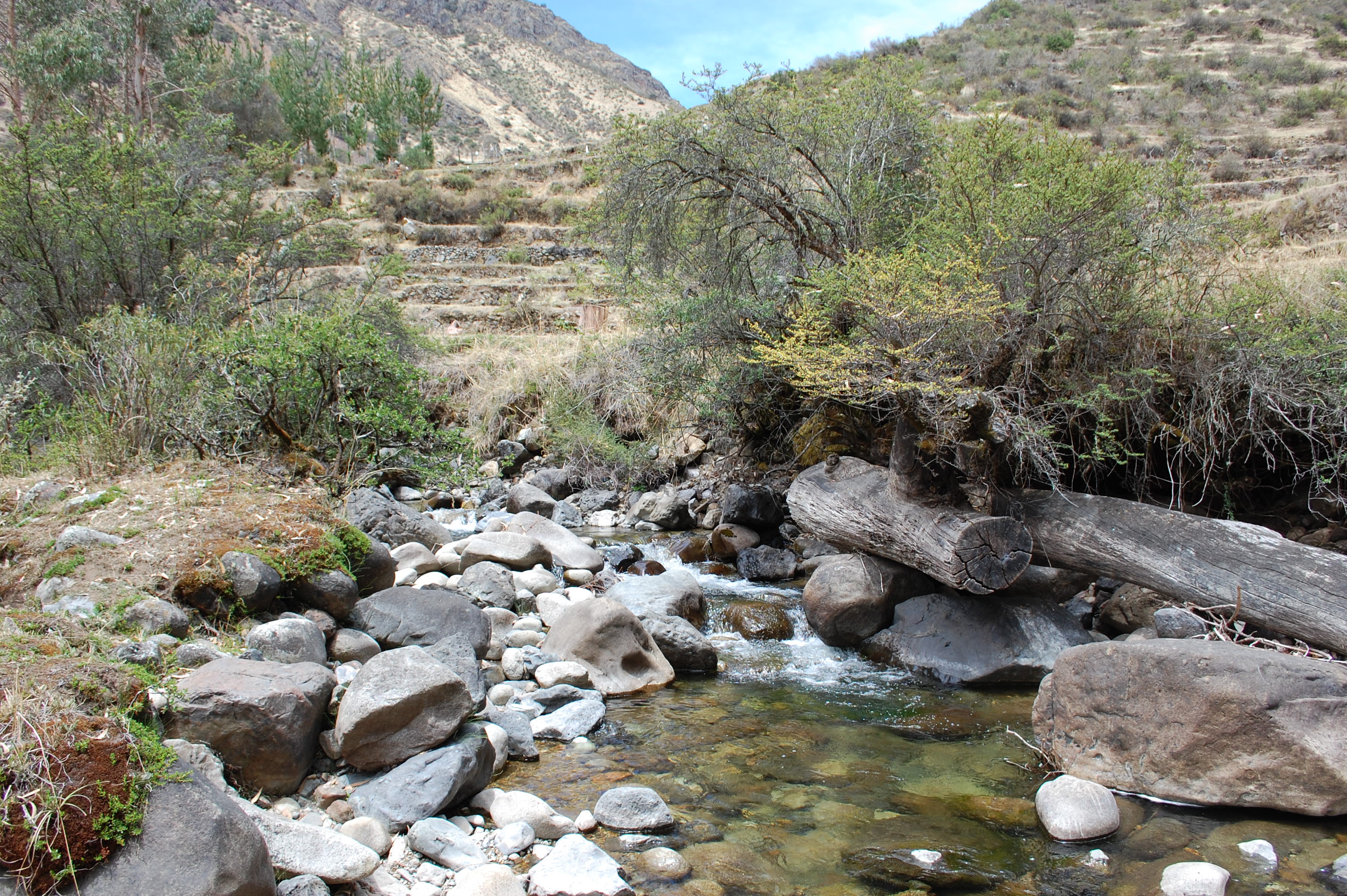 Site RT10B - the view upstream (November 2021) (John Forrest)
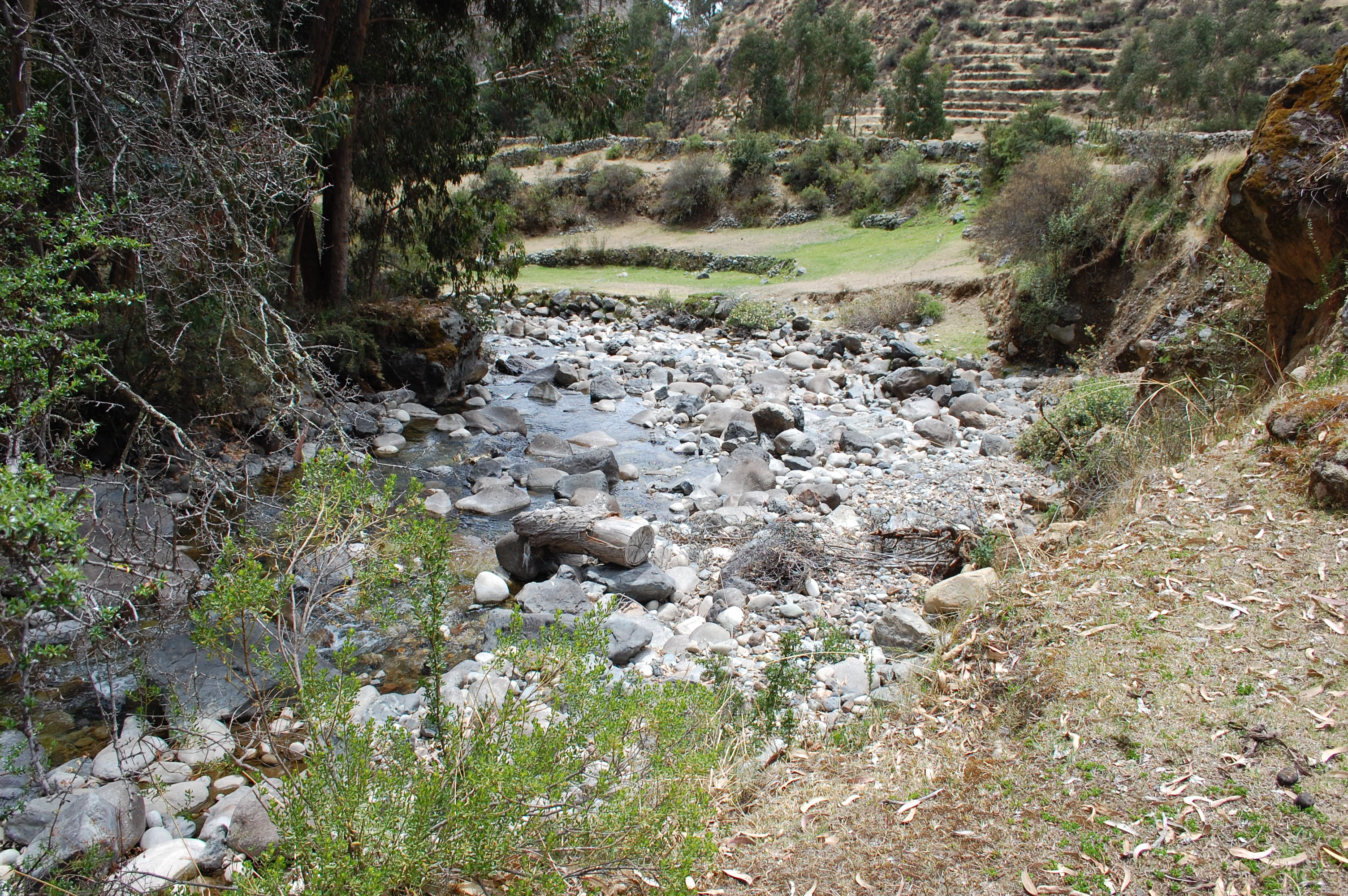 Site RT10B - the view downstream (November 2021) (John Forrest)