RT06B - Upper Yauyos
Site Code: RT06B. GPS: S12°457210, W75°924855. Elevation: 2970m asl.
Water Quality Data
The following river and water quality data was collected from this site:
| RT06B | November 2021 |
|---|---|
| Season: | Austral Summer |
| Date: | 14.11.21 |
| Time: | 11.15am |
| Width (m) | 3.6 |
| Depth (Av.) (m) | 0.09 |
| CSA (Av.) (m²) | 0.33 |
| Velocity (Av.) (m/s) | 0.64 |
| Discharge (Av.) (m³/s) | 0.208 |
| Riverbed sediment | Mainly Boulders |
| Temp. (Atmospheric) (°C) | 20 |
| Temp. (Water) (°C) | 12.72 |
| Atmospheric pressure (mbar) | (<600) |
| Dissolved oxygen (mg/l) | 6.08 |
| Dissolved oxygen (%) | 75.80 |
| pH | 7.39 |
| Conductivity (µS/cm) | 107 |
| Total Dissolved Solids (ppm) | 53 |
| ORP (mV) | 127.05 |
| Turbidity | Clear: very slightly turbid |
| Alkalinity (mg/l CaCO₃) | 70 (1.6N) |
| Alkalinity Field Tester (ppm/ CaCO₃) | - |
Data Analysis
Discharge at this point on the Rio Yauyos was low suggesting that the rains had not yet started in the headwaters of this smaller sub-catchment.
At nearly 3000m asl the DO readings at RT06B were lower than at many sites but fall within the range to be expected for a November data set.
The conductivity readings at this site (107 µS/cm) was very low but is as expected for a high altitude site located above all settlements within a sub-catchment. It suggests good conditions for aquatic life.
The pH reading of 7.39 is slightly lower than at most other site in the valley maybe due to the presence of farm animals (see below). However, at these levels the alkalinity of the river is still suitable for aquatic life and indicative of clean water.
Site description
Site RT06B lies in the Rio Yauyos valley at 2970m asl, just above the settlement of Yauyos. The valley at this point is narrow with a v-shaped profile and a very narrow flood-plain. River flow in the Rio Yauyos is year-round and delivers a small input to the Rio Cañete.
Channel bed load comprised of scattered large boulders, and stones.
The study site is largely agricultural, dominated by eucalyptus and tall natural scrub along one bank, while the bank is lined with small fields and pasture animals are often corralled there. There are no permanent settlements higher up the valley and access is only on foot up a rough track.
Just upstream from the site water enters the channel from an underground spring on one bank and from an irrigation channel drawing water from further upstream on the other bank. In places the irrigation channel overflows and animals walk in it contaminating the water which then enters the river just above the study site.
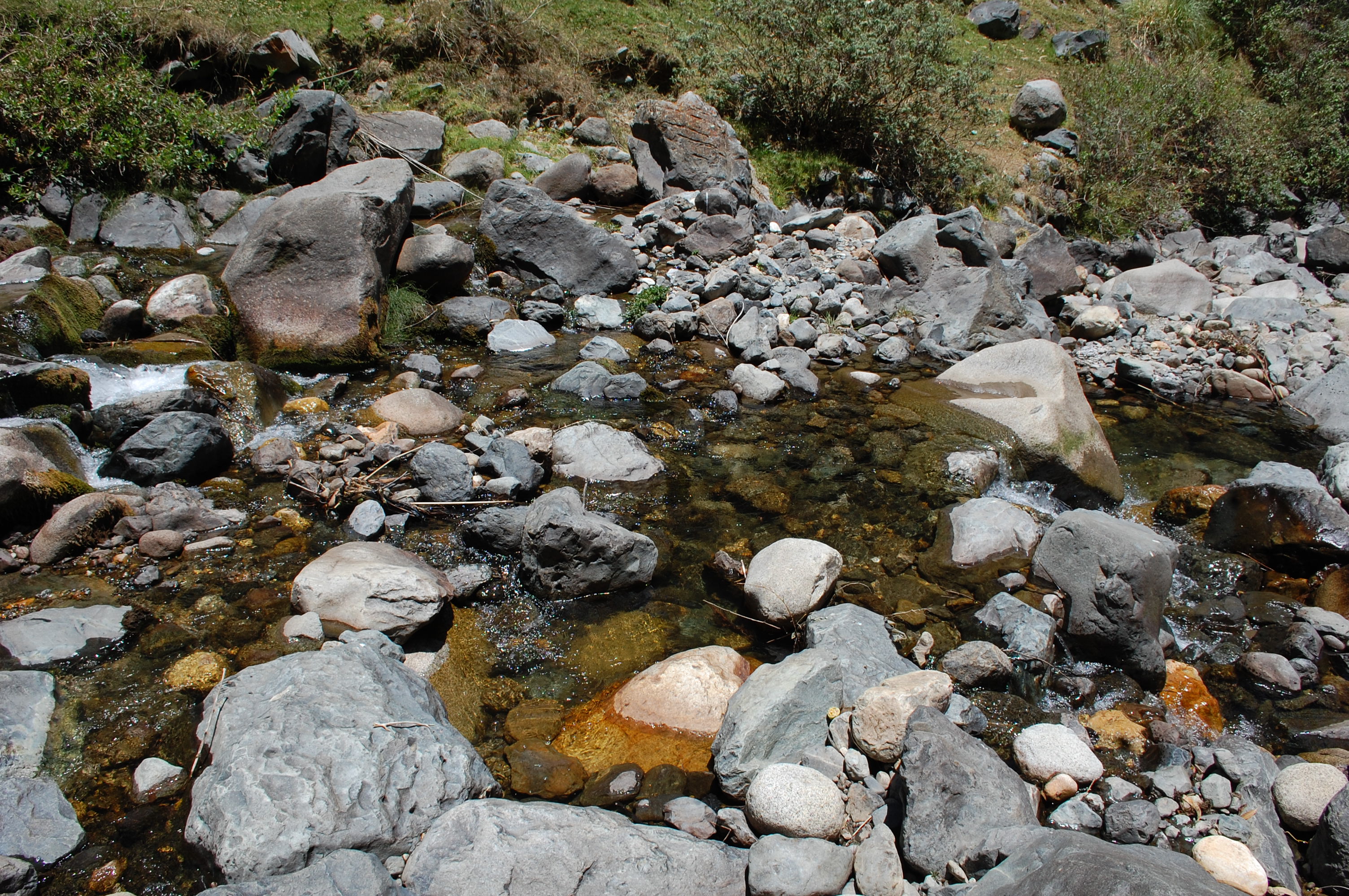 Site RT06B - the study site (Nov.2021). (John Forrest)
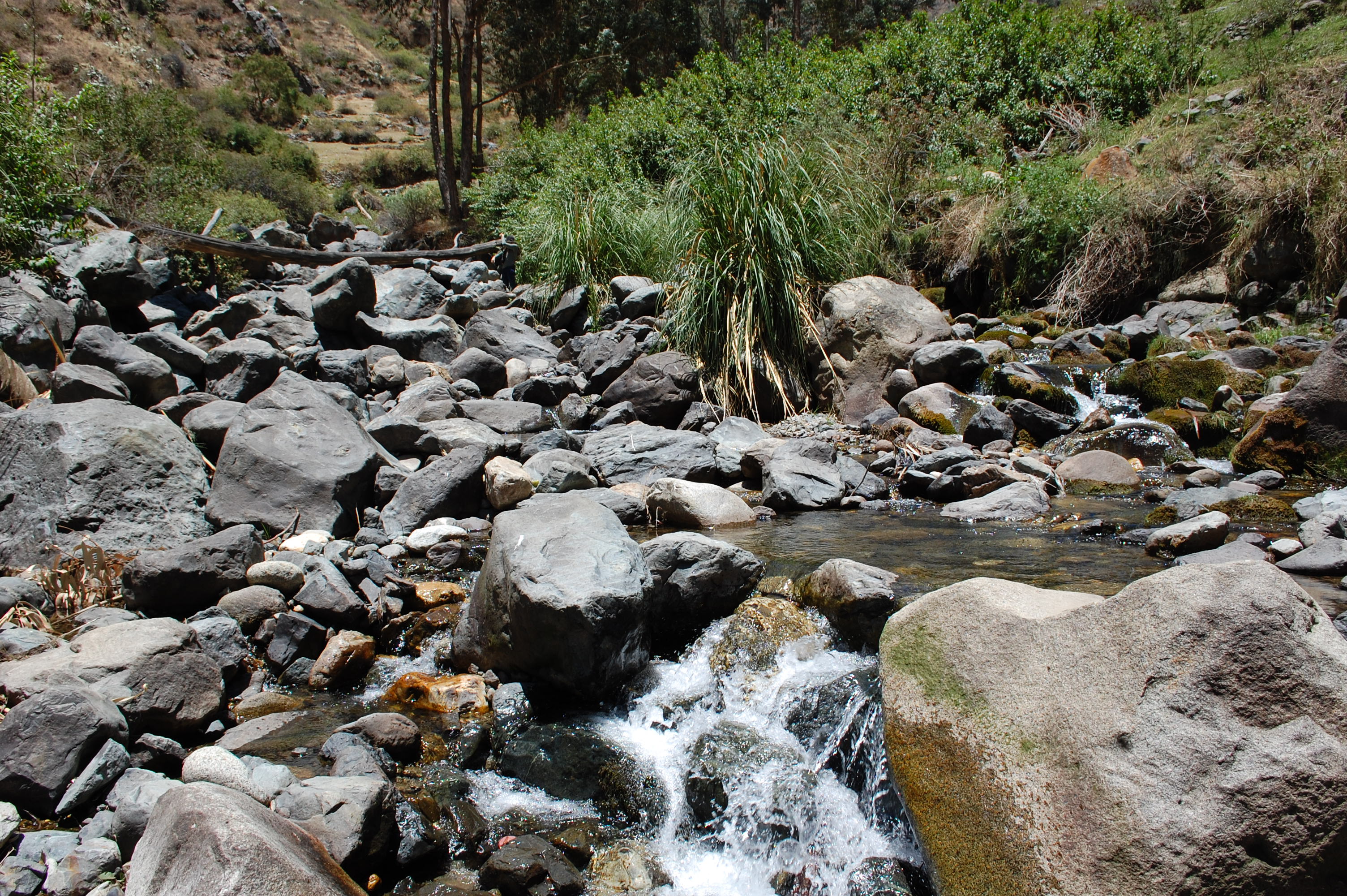 Site RT06B - the view upstream (Nov.2021). (John Forrest)
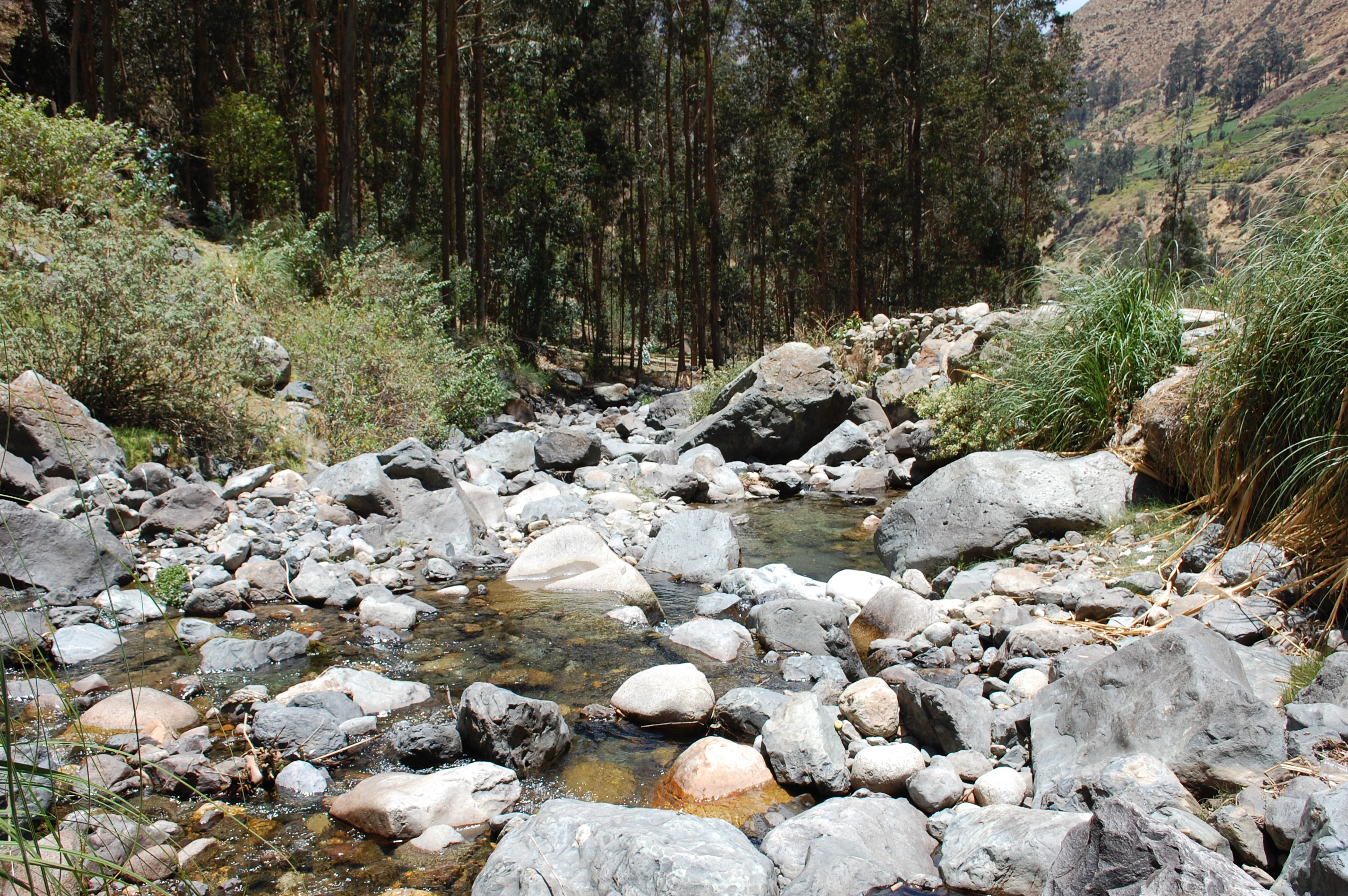 Site RT06B - the view downstream (Nov.2021). (John Forrest)