RC13 - Puente Lloclla
RC13 Puente Lloclla - GPS: S12°27311, W75°811132. Elevation: 3220m asl.
RC13i Puente Acomachay (November 2019) - GPS: S12°29045, W75°807759. Elevation: 3148m asl.
Water Quality Data
The following river and water quality data was collected from this site:
| RC13 | November 2019 (RC13i) | November 2021 | March 2022 | July 2022 |
|---|---|---|---|---|
| Season: | Austral Summer | Austral Summer | Austral Summer | Austral Winter |
| Date: | 21.11.19 | 16.11.21 | 27.3.22 | 1.7.22 |
| Time: | 12.30 | 10.00 | 17.00 | 12.45 |
| Width (m) | 18.0 | 17.0 | 19.25 | 19.6 |
| Depth (Av.) (m) | 0.21 | 0.65 | 0.41 | |
| CSA (Av.) (m²) | 3.71 | 11.05 | 8.04 | |
| Velocity (Av.) (m/s) | 0.52 | 0.94 | 0.84 | |
| Discharge (Av.) (m³/s) | 1.943 | 10.387 | 6.75 | |
| Riverbed sediment | Cobbles & small boulders | Mainly boulders | Cobbles & Boulders | |
| Temp. (Atmospheric) (°C) | 23 | 18 | 15 | 21 |
| Temp. (Water) (°C) | 13.74 | 12.36 | 12.66 | 11.74 |
| Atmospheric pressure (mbar) | 705 | - | 700 | 604 |
| Dissolved oxygen (mg/l) | 3.97 | 6.53 | 4.61 | 6.95 |
| Dissolved oxygen (%) | 64.7 | 88.4 | 74.1 | 107.95 |
| pH | 8.70 | 8.35 | 8.59 | 8.52 |
| Conductivity (µS/cm) | 358 | 462 | 252 | 397 |
| Total Dissolved Solids (ppm) | 179 | 231 | 126 | 199 |
| ORP (mV) | 139.1 | 166.4 | 89.1 | 130.38 |
| Turbidity | Clear: | Clear: | Clear: slightly green | Clear: |
| Alkalinity (mg/l CaCO₃) | - | 110 (1.6N) | 122 (1.6N) | 136 (1.6N) |
| Alkalinity Tester (ppm CaCO₃) | - | - | 112 | 131 |
Data Analysis
Discharge at this point along the Rio Cañete varies significantly, with an average flow in the range 6-8cumecs. The data suggests that the rains had yet to arrive in the headwaters in November 2019 while in November 2021 they had already begun to fall.
At just above 3200m asl the DO readings at RC13 fall within the range to be expected. It again follows the pattern in which DO readings slowly decline as elevation increases. The measurements for conductivity and total solids probably reflect local geological conditions and weathering processes in the river channel, but this is yet to be determined. At these levels of conductivity and total solids water quality is good.
The pH readings of about 8.5 are as expected for a clean river and appropriate for most forms of aquatic life.
The impact of the small settlements of Vitis and Huancaya further up the valley is not known, but is unlikely to be very great as in this section of the catchment there is limited agriculture, no mining and low population density.
Site Descriptions
Sites RC13 lies in the arid temperate zone above the small town of Tinco Alis at 3252m asl. It is located in the temperate zone in the upper valley. At this point the valley has a sharply v-shaped profile. The bed load in the river channel is comprised of fluvio-glacial boulders, gravels, and sands. Huge boulders from land slides also lie throughout the valley and the river channel. The river flow in the Rio Cañete is year-round but there is significant variation year on year.
As can be seen from the photographs, there is little or no agricultural cultivation taking place at present, with pastoralism dominating any rural land use. There are smaller areas of terracing on steeper and more mesic west facing slopes. The valley here lies within the Reserva Paisajistica Nor Yauyos-Cochas and at this point in the valley, the slopes are covered in extensive areas of pacific relictual woodlands. These woodlands are some of the most southerly woodlands on the west flank of the Andes and are important for the protection of threatened fauna and flora. The presence of good populations of Rufous-breasted Warbling Finch (Poospiza rubecula) in the valley point to the importance of the area for conservation and biodiversity.
This valley is the principal transport route to San Mateo and the central highway but the road changes from tarmac to hard surface at Tinco Alis so it is little used and serves only sparse rural communities higher up the valley, and tourists visiting Huancaya.
The original study site (RC13i), just upstream from Puente Acomachay, at which data was collected in November 2019 was replaced by RC13, Puente Lloclla, on subsequent visits.
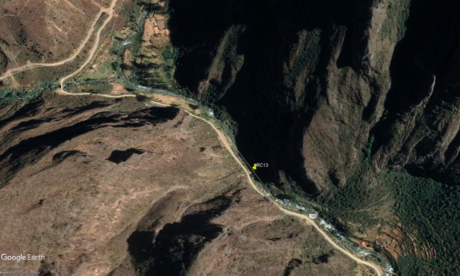 Site RC13 - Study (new) site location: Puente Lloque.
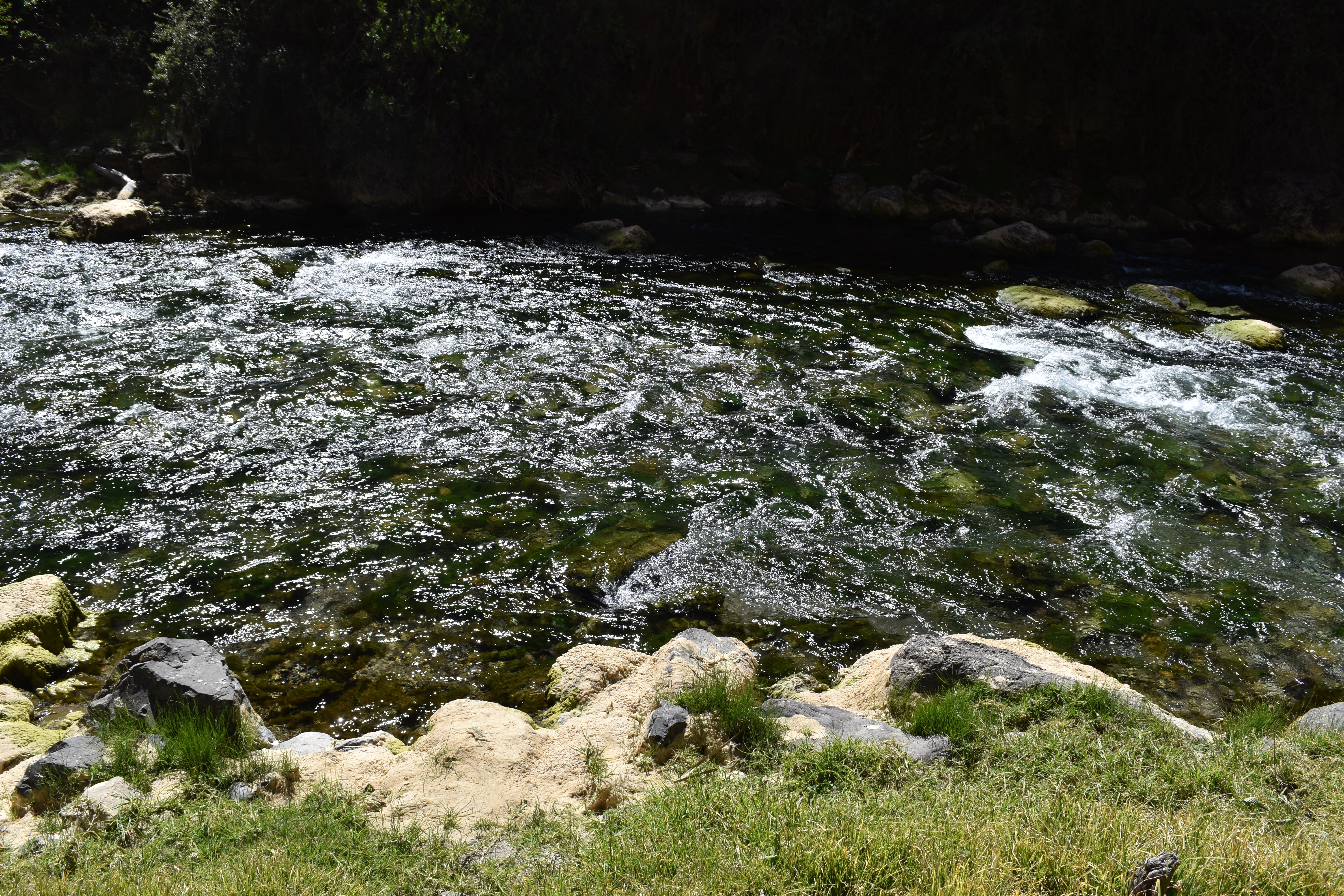
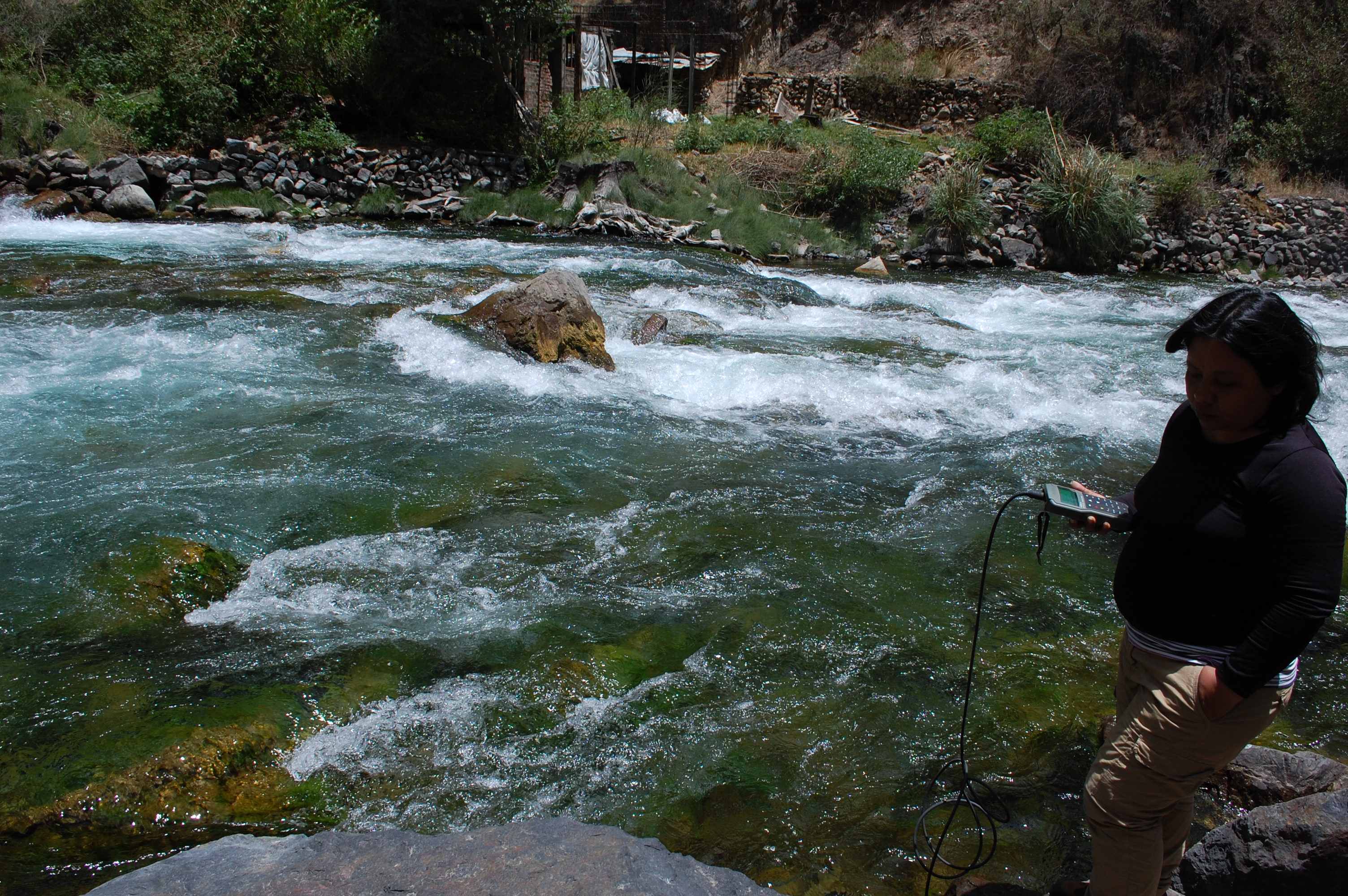 Site RC13i - the study site. (November 2019) (John Forrest)
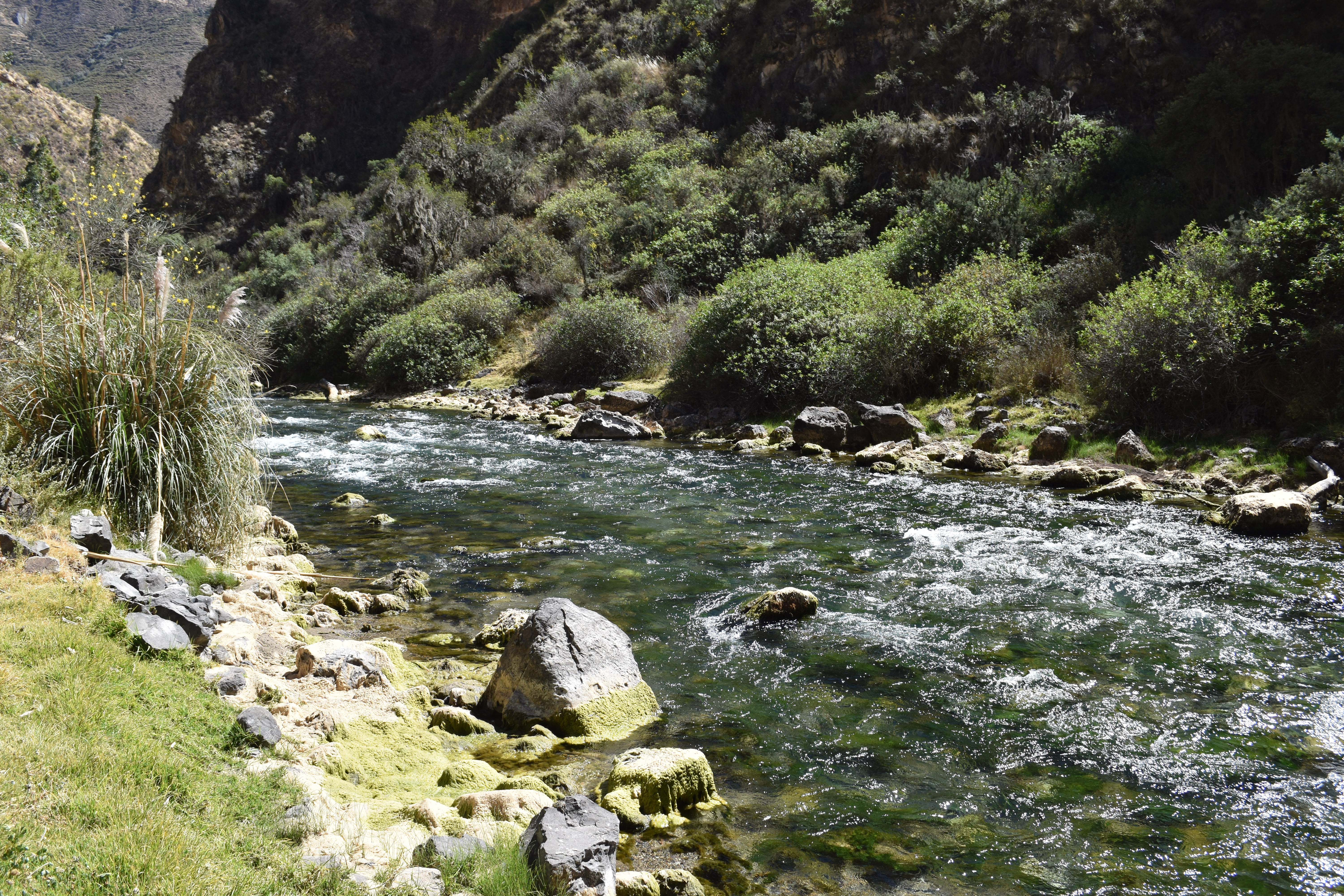
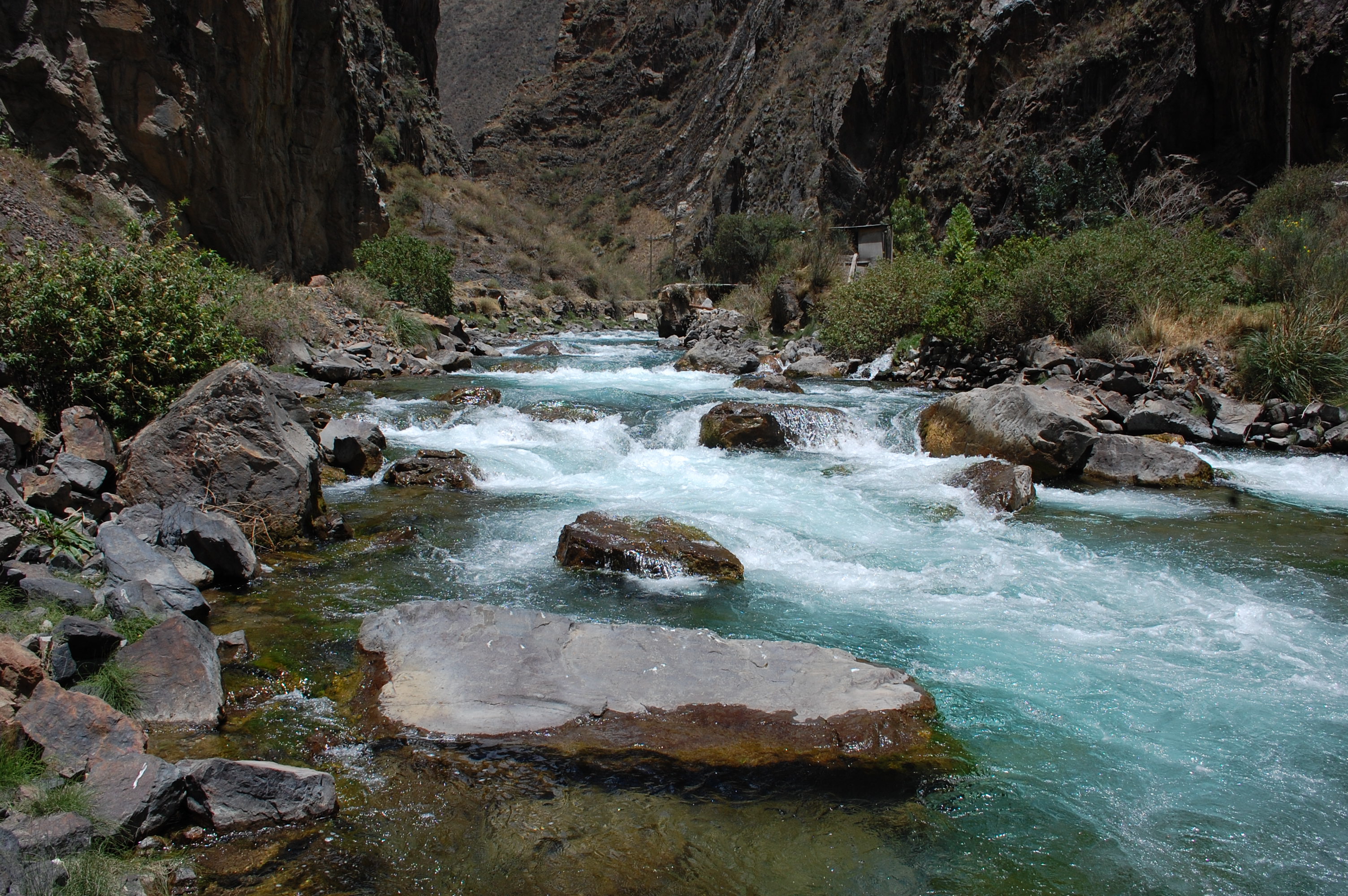 Site RC13i - View upstream. (November 2019) (John Forrest)
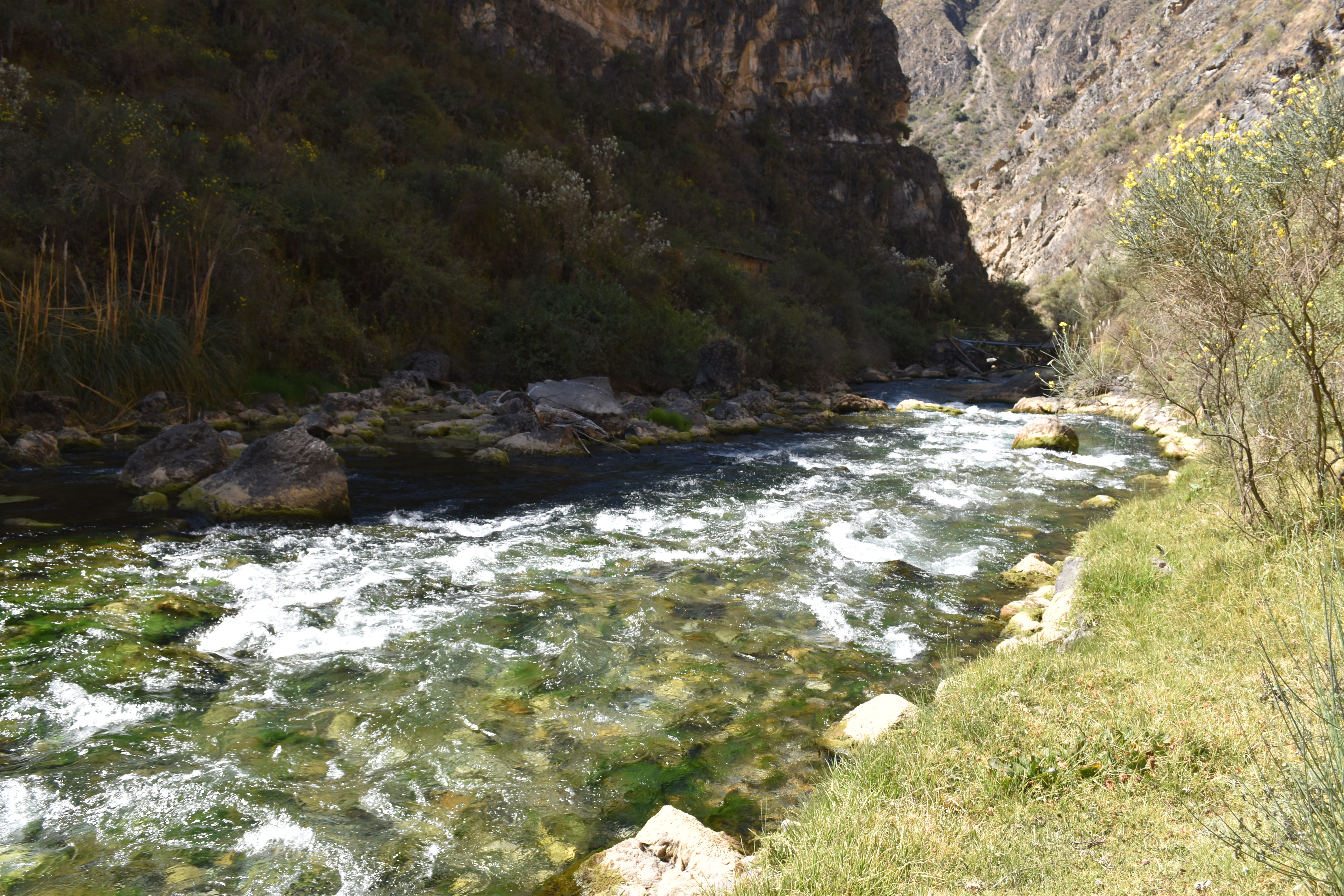
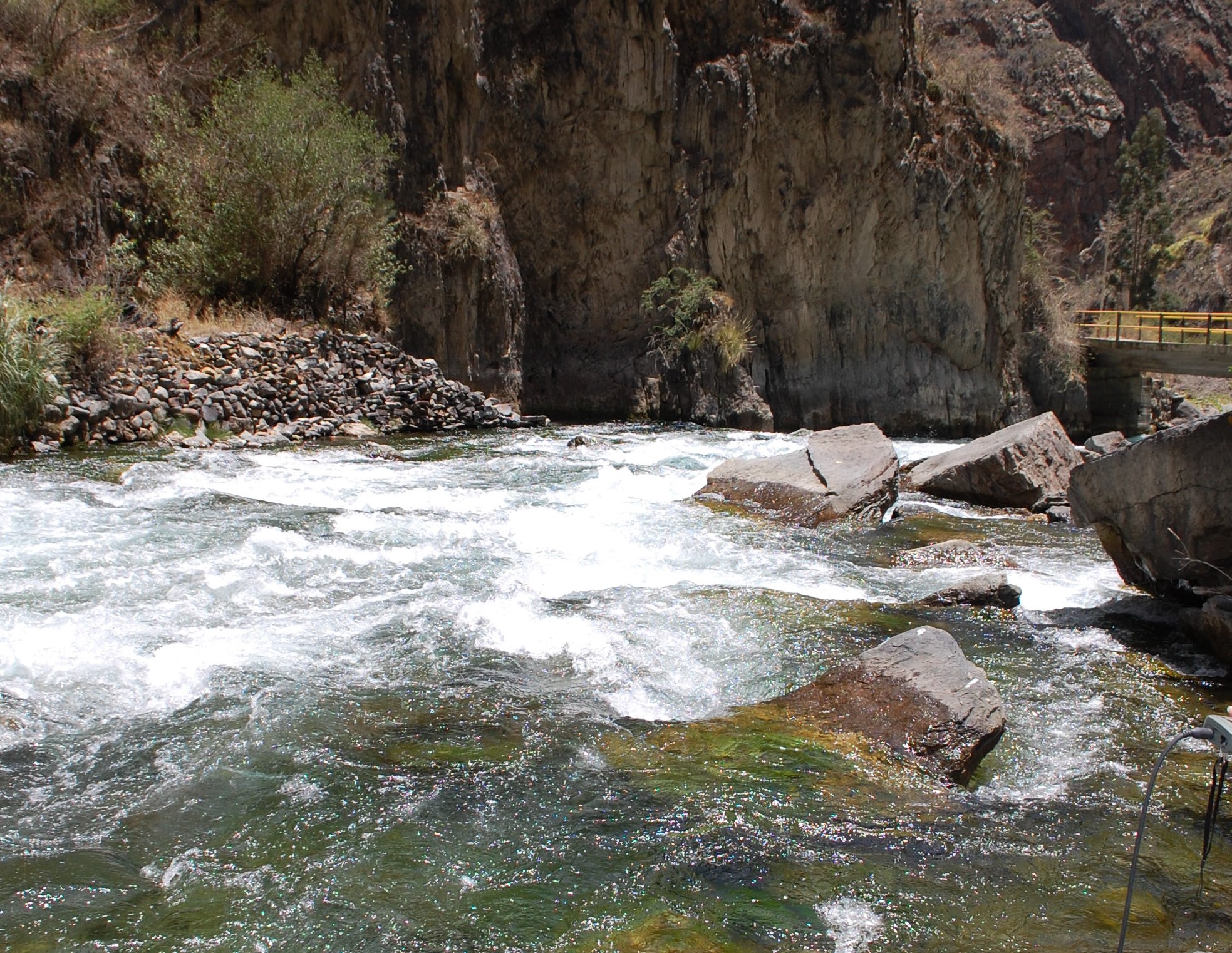 Site RC13i - View downstream. (November 2019) (John Forrest)
 Site RC13 - the study site. (June 2022) (John Forrest)
 Site RC13 - View upstream. (June 2022) (John Forrest)
 Site RC13 - View downstream. (June2022) (John Forrest)