RT11A - Lower Vilca
Site Code: RT11A. GPS: S12°11645, W75°818042. Elevation: 3890m asl.
Water Quality Data
The following river and water quality data was collected from this site:
| RT11A | November 2019 | November 2021 |
|---|---|---|
| Season: | Austral Summer | Austral Summer |
| Date: | 22.11.19 | 21.11.21 |
| Time: | 9.45am | 12.00 |
| Width (m) | 3.0 | 2.85 |
| Depth (Av.) (m) | 0.04 | 0.07 |
| CSA (Av.) (m²) | 0.12 | 0.20 |
| Velocity (Av.) (m/s) | 0.57 | 0.63 |
| Discharge (Av.) (m³/s) | 0.070 | 0.126 |
| Riverbed sediment | Cobbles & Boulders | Cobbles & Boulders |
| Temp. (Atmospheric) (°C) | 11 | 15 |
| Temp. (Water) (°C) | 8.5 | 12.33 |
| Atmospheric pressure (mbar) | 660 | (<600) |
| Dissolved oxygen (mg/l) | 3.56 | 5.41 |
| Dissolved oxygen (%) | 52.6 | 78.85 |
| pH | 8.72 | 8.43 |
| Conductivity (µS/cm) | 502 | 660 |
| Total Dissolved Solids (ppm) | 250 | 330 |
| ORP (mV) | 125.6 | 109.9 |
| Turbidity | Clear: | Clear: |
| Alkalinity (mg/l CaCO₃) | - | 142 (1.6N) |
| Alkalinity Field Tester (ppm/ CaCO₃) | - | - |
Data Analysis
Discharge for this small tributary is low. It will fluctuate throughout the year and have a flashy storm profile but the amount it contributes to the drainage basin will always be small.
At over 3800m asl the DO readings at RT11A fall within the range to be expected. It again follows the pattern in which DO readings slowly fall as elevation increases.
The measurements for conductivity and total solids are fairly high, which probably reflects local geological conditions and weathering processes in the river channel. At these levels of conductivity and total solids water quality still remains good.
As there is no permanent population living above this point in the headwaters anthropic impact is very low. There is some pastoral agriculture associated with the village of Vilca, but this is extensive and occurs irregularly along the tributary.
Site Description
Site RT11A lies in the puna zone near the small village of Vilca at 3811m asl. At this point the side valley has a U-shaped profile typical of glaciated landscapes.
The bed load in the river channel is comprised of fluvio-glacial boulders, gravels, and sands. Huge boulders from landslides and probably as erratics also lie throughout the valley and along the river channel.
There is no agricultural cultivation taking place, with pastoralism dominating any rural land use in this zone. There is evidence of more intensive land use having taken place in the past; old corrals being found the length of the valley.
The principal anthropic impact at the elevations is usually the periodic burning of hillsides. This being undertaken in the mistaken belief that it creates good grazing. However, given the intensity of stocking and the impact on the drying of hillsides, degradation of soils and increased levels of erosion this is a practice best avoided.
The flora and fauna at this elevation is dominated by high elevation components and communities. Cream-winged and White-winged Cinclodes, Striated Earthcreeper, Peruvian and Plumbeous Sierra Finches are common. In the taller bunch grass Streak-throated and Cordilleran Canasteros are widespread and fairly common. Andean goose, Andean and Puna Ibis are found feeding on the wetter ground higher up.
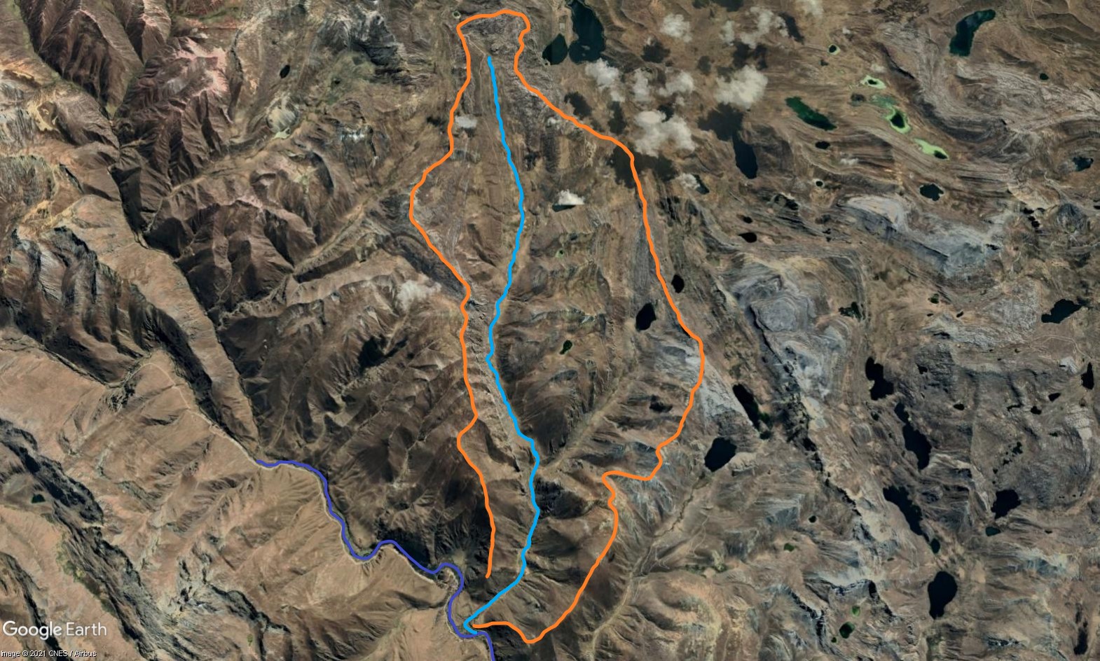 Tributary 11 - the Vilca subcatchment. (Eustace Barnes)
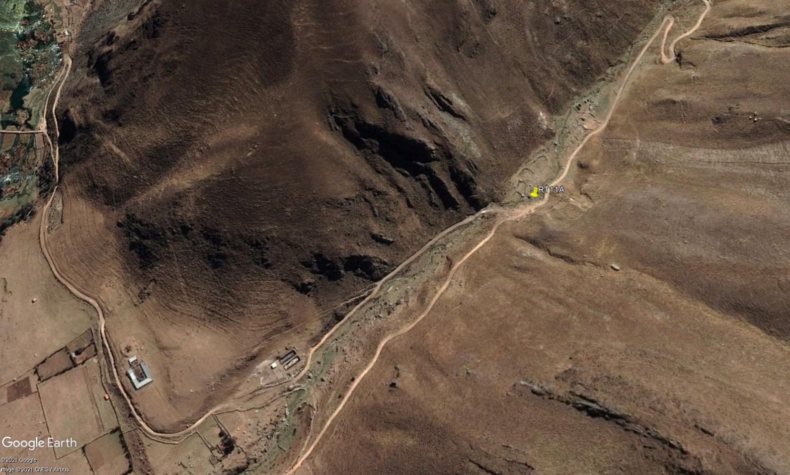 Site RT11A - the study site location just above the old turn off to Vilca. (John Forrest)
 Site RT11A - the study site. (November 2021) (John Forrest)
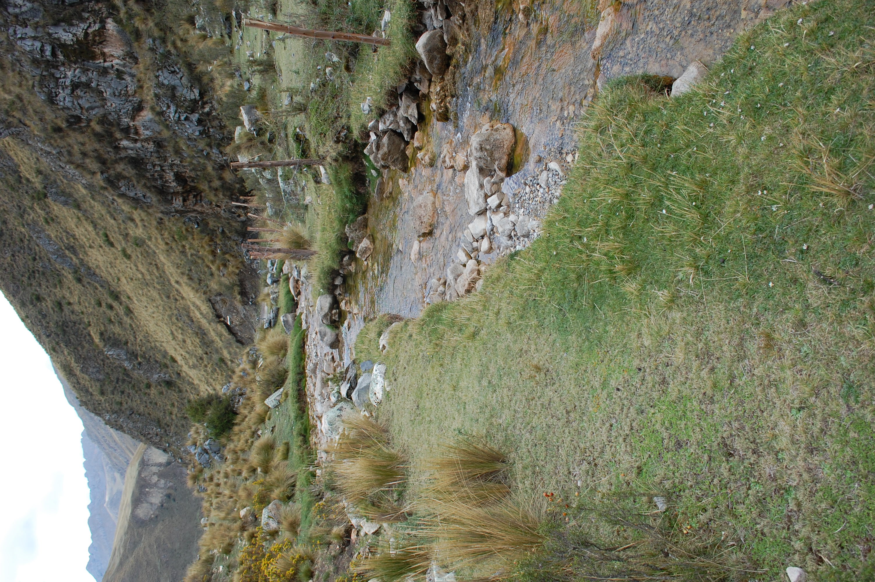 Site RT11A - View downstream from the study site. (November 2021) (John Forrest)
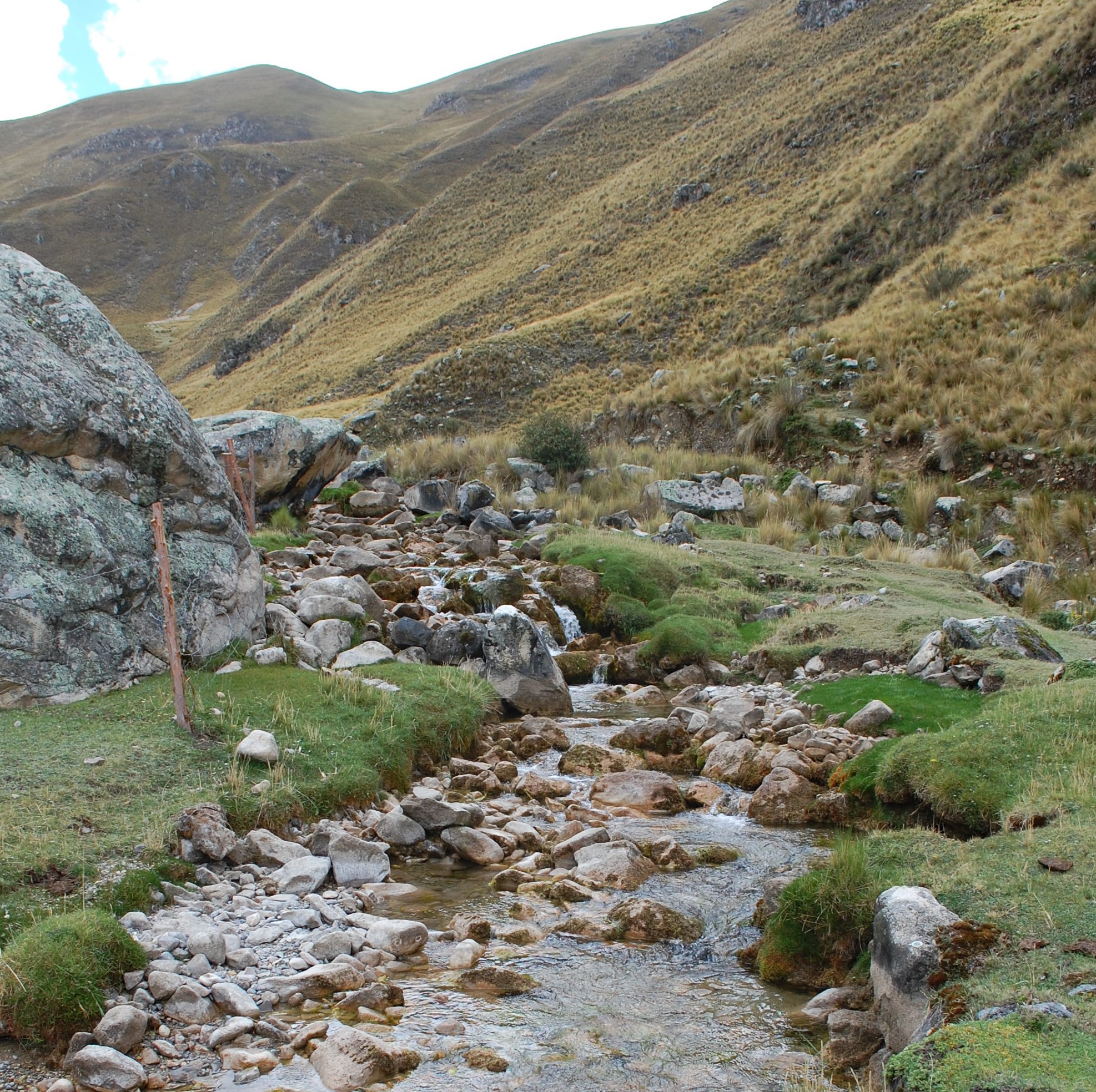 Site RT11A - View upstream from the study site. (November 2021) (John Forrest)